You may have heard about the sensor presented as the latest thing in new smartphones, but this is not such a new technology, nor is it just another exclusive feature for cell phones to improve the ability to capture photos with your smartphone.
What is it, and what is so extraordinary about these sensors?
First, we must know what the word ‘Light Detection And Ranging’ means. From the name itself, we can see that this sensor uses remote sensing to measure the properties of reflected light, and its principal function is to measure the distance between different objects.
As mentioned before, this technology is not as recent as you might think, being already more than 60 years old.
The great inventor of this system is Hughes Aircraft Company, which produced this system in the 1960s, after the invention of the laser – Light Amplification by Stimulated Emission of Radiation. The first one was presented and applied in practice in 1963, with the US military system’s use of the Co-laser rangefinder as a rifle. However, it peaked in the 1970s, with National Center for Atmospheric Research for the Apollo 15 mission, clouds, and pollution measurement.
Although it is currently popularly associated exclusively with specific devices such as cameras and smartphones, we are now beginning to see more and more companies using this technology in other more technological products.
As we mentioned before, this sensor can measure and get the actual distance that objects are from each other, but it also can be used to define measurements, this being a pulsed laser system. It is very often used to obtain spatial information.
Through this sensor placed, for example, on the underside of an airplane, can accurately know the height of a tree in the Black Forest.
We can consider the technology a direct method of data survey and highly accurate, increasingly used in all Engineering areas to create three-dimensional digital models with high precision.
But does it work through light only during the day?
Knowing that it can measure distances by light, you have probably wondered how it works in a dark environment, such as at night.
It works at night or in any other dark environment because the light source comes from laser beams in the near-infrared band, emitted by the sensor itself, obtaining 3D models of a terrain surface.
The range of the sensor thus depends on the number of beams, so the more that is present on the sensor, the greater its content, just as the larger the sensor, the more rays it will be able to emit.
How does the sensor work?
Knowing that this system can be present on mobile and fixed platforms is essential. You can find it on towers, the ground, airplanes, smartphones, drones, and various other sensors.
It can also combine a Global Navigation Satellite System (GNSS) and a Inertial Navigation System (INS).
For those who don’t know, GNSS is responsible for providing the aircraft’s location in space, thus being able to inform where objects are. On the other hand, the INS reports the attitude angles of what is measured. The result depends on calculating variables as time elapsed from the emission of the pulsed laser to the target and its return time to the sensor.
From the speed of light, the sensor converts time into distance. Next, the value is associated with the positioning information. The result will show the 3D coordinates of the object under study. The laser pulses emit at a specific repetition frequency rate. They thus act like a scanner, scanning perpendicular to the direction of the line you are capturing.
This technology can achieve highly accurate results. It is used militarily, by space missions, for precise terrain measurements, and even in standard features.
What is it used for?
Now that we understand how it works, let’s know for what it’s used. Throughout the text, we have mentioned some of its uses, but now we will detail a little more of the functions it can have.
We mentioned that the sensor could accurately tell which objects are within its “vision” radius—detecting whether it is a moving object or not.
One of the most significant investments in this technology is autonomous cars. Even though it doesn’t seem to be a near reality, its uses are becoming more and more widespread, as can also be seen in agricultural machines, which already use these technologies.
In the automotive industry, if we had to think of a brand that used this technology, perhaps the first brand that would come to mind would be Tesla. The company has camera systems on the car’s sides, which identify the environment and do the processing using state-of-the-art computer technology. Although the company has research in this area, its vehicles do not always use it, and these sensors are not even present in the models currently available on the market.
This technology is also widely used in engineering projects to obtain accurate topographic surveys. This technology is vital for the elaboration of digital models for proper studies of the environment. Since it can provide precise information very quickly, it can adapt to spaces with much vegetation and in very urbanized environments with a large volume of buildings.
Where can we find it?
Apple was the first company to bring the sensor on a mobile device in its 2019 iPad Pro model.
Apple introduced the sensor in the 2019 iPad Pro, and according to the company, it could “measure the distance up to five meters from objects in the environment in nanoseconds.” Being linked to augmented reality technologies.
Although the presence of this technology is commonly associated with photographs, Apple assumes that the sensor serves more for other types of functionalities, such as the app ‘Measures’. The name is quite suggestive and is used to determine the measurements of things or people.
Nowadays, it is already effortless to take measurements daily without using a tape measure; point your smartphone at the environment, and it will define the sizes present. It applies to height, width, area, and much more, which the company proposes with the app.
It is also common to see stores using augmented reality to increase and facilitate their sales, and it is possible to scan a face to see if a particular model of glasses looks good on you before buying them, or even a room to see how the furniture would look like before buying it. It can help avoid buying objects that do not match or are too big, among other problems. Regarding smartphones, there is yet another feature that promises to make people talk about using this technology, the 3D games.
Surely you must be asking yourselves, what about drones? And true another use is in drones. The DJI Matrice 300 was equipped with a system and could even map two mines in Australia. For this, it made a fully autonomous flight through underground caves. The sensor was used for the drone to not collide with any objects, and the result was highly positive.
As technology advances, there will be many more equipment and areas that will make use of this system.
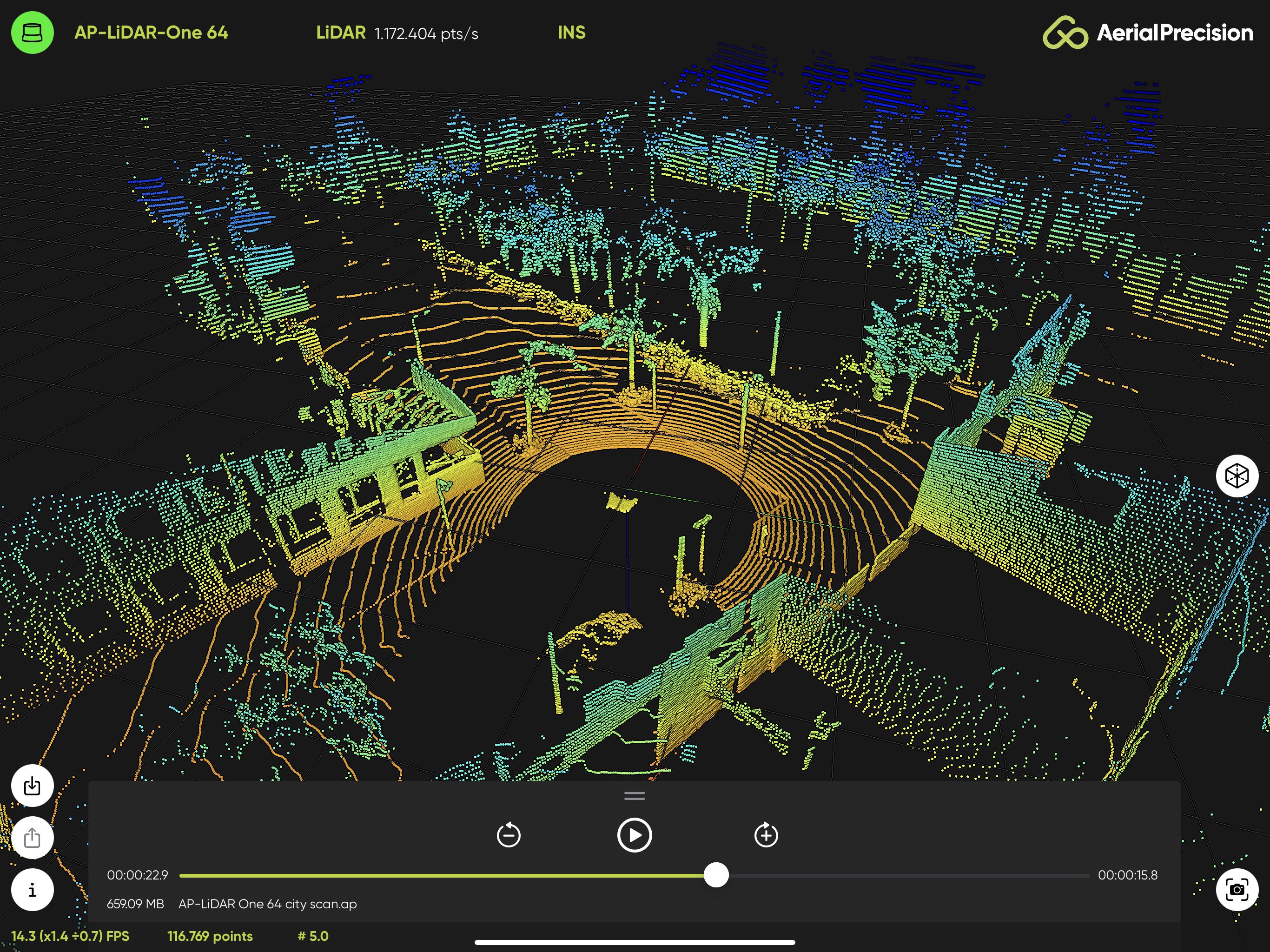
At AERIAL PRECISION, our LiDAR sensors are designed for professional applications, giving efficient and practical answers to the needs of planning and preparation of projects, but also to the demands of management, which increasingly faces fierce global competition. Our solutions using the sensor add value to the business, providing qualified information, accurate and, most importantly, available in real-time.
In the next post in our blog, we will tell you everything and clear up your doubts about the usefulness of our products that integrate this technology and that we use with solutions developed based on artificial intelligence.