

LiDAR Sensors
-
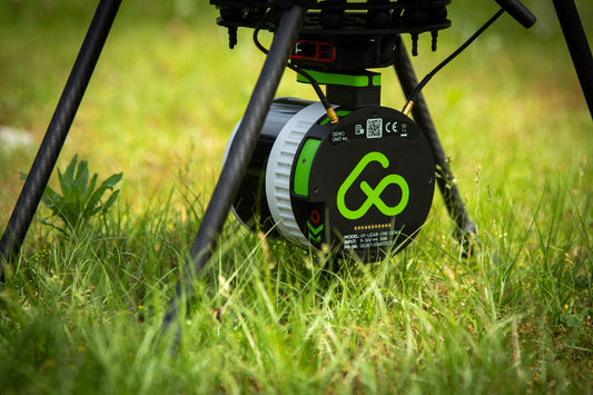
AP-LiDAR-One GEN II
Superior LiDAR sensor for Aerial and Mobile 3D mapping
32 lasers channels
±3 cm (1.2 in) accuracy
Triple Returns
300 m range
360° x 40° FOV
650 grams
Aerial and Mobile mapping
Regular price €31.950,00Regular priceUnit price per€31.950,00Sale price €31.950,00Learn more
-
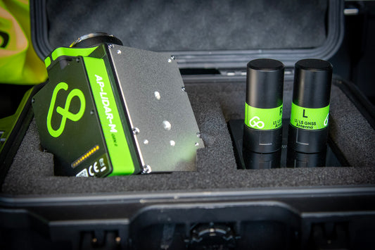
AP-LiDAR-M GEN II
Entry-level LiDAR sensor for Aerial 3D mapping
6 lasers channels
±5 cm (2 in) accuracy
Triple Returns
450 m range
70° x 77° FOV
690 grams
Aerial mapping
Regular price €10.975,00Regular priceUnit price per€10.975,00Sale price €10.975,00Learn more


Apparel
-
Aerial Precision Cap
Aerial Precision Caps with an adjustable strap and curved visor.
• 100% chino cotton twill
• 3 ⅛” (7.6 cm) crown
• Adjustable strap with antique buckleRegular price €20,00Regular priceUnit price per
