

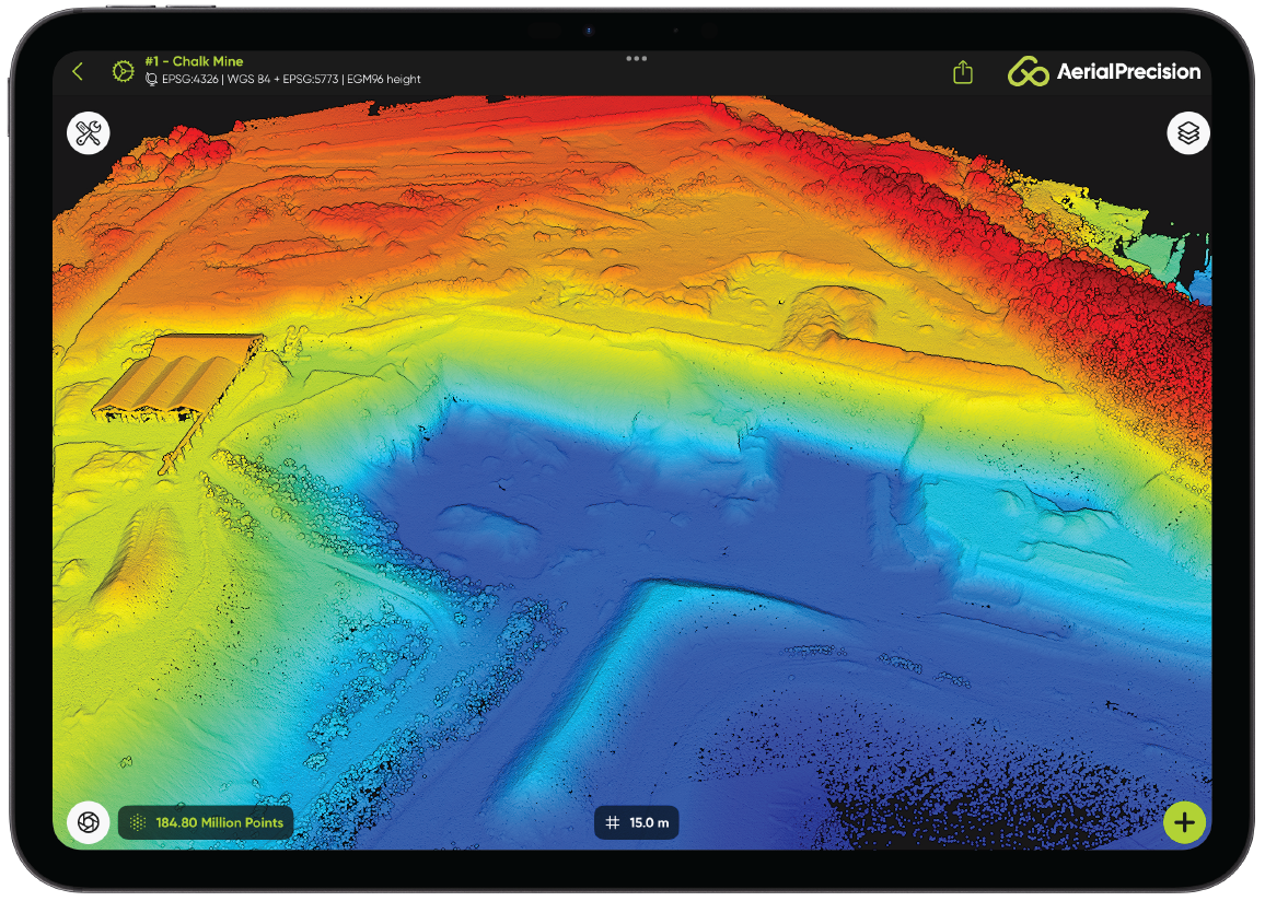
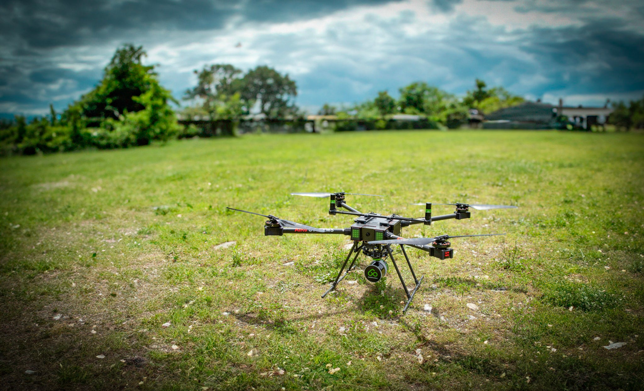
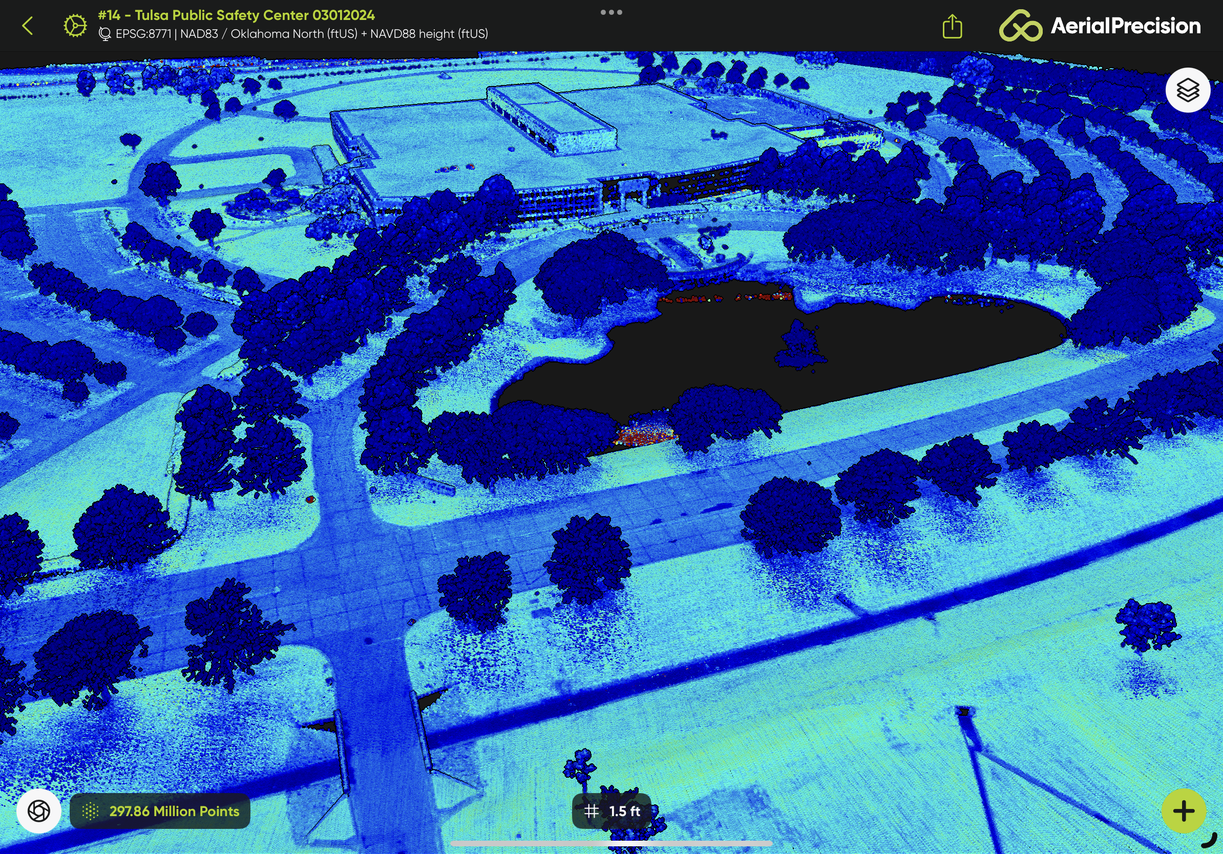
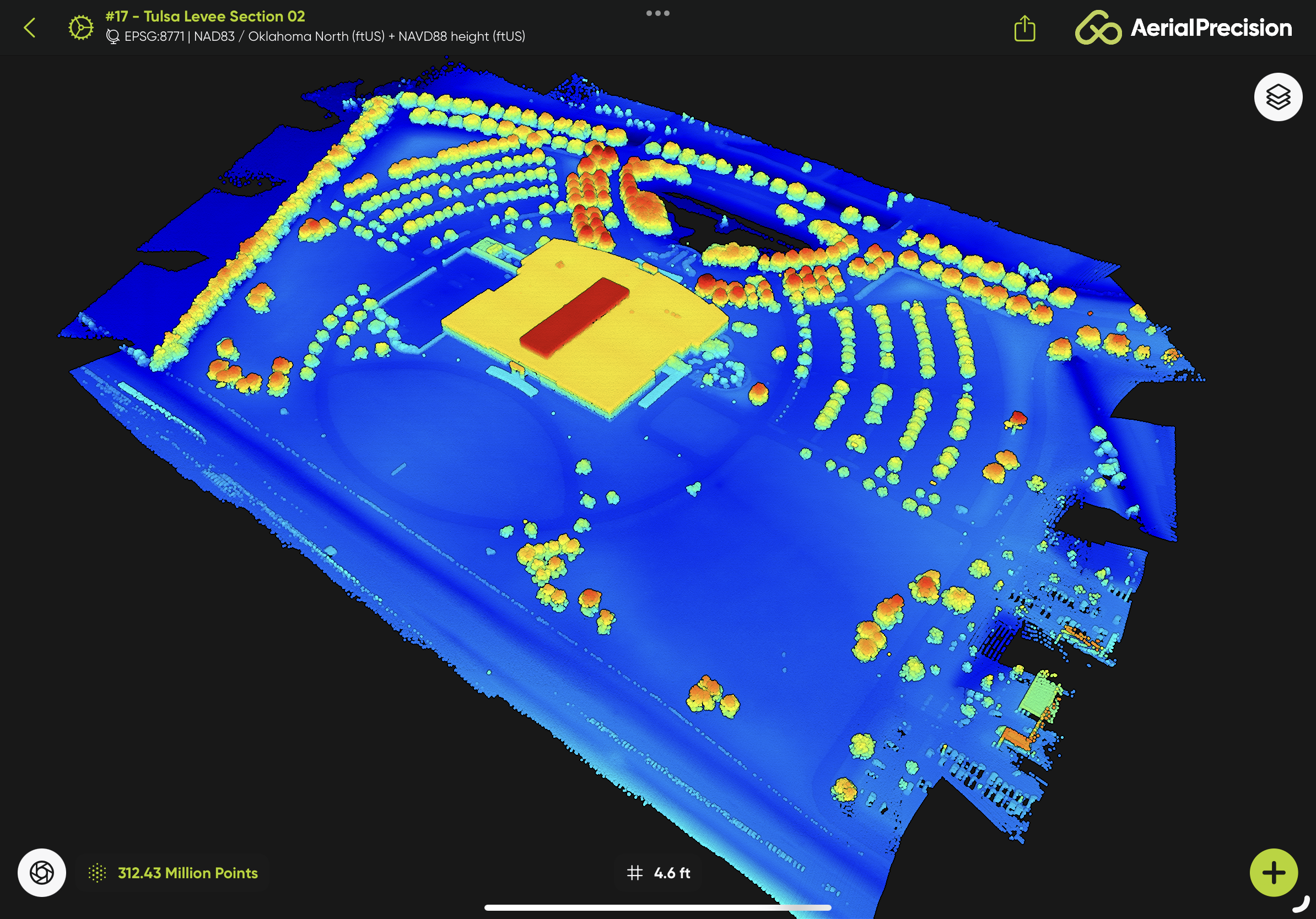
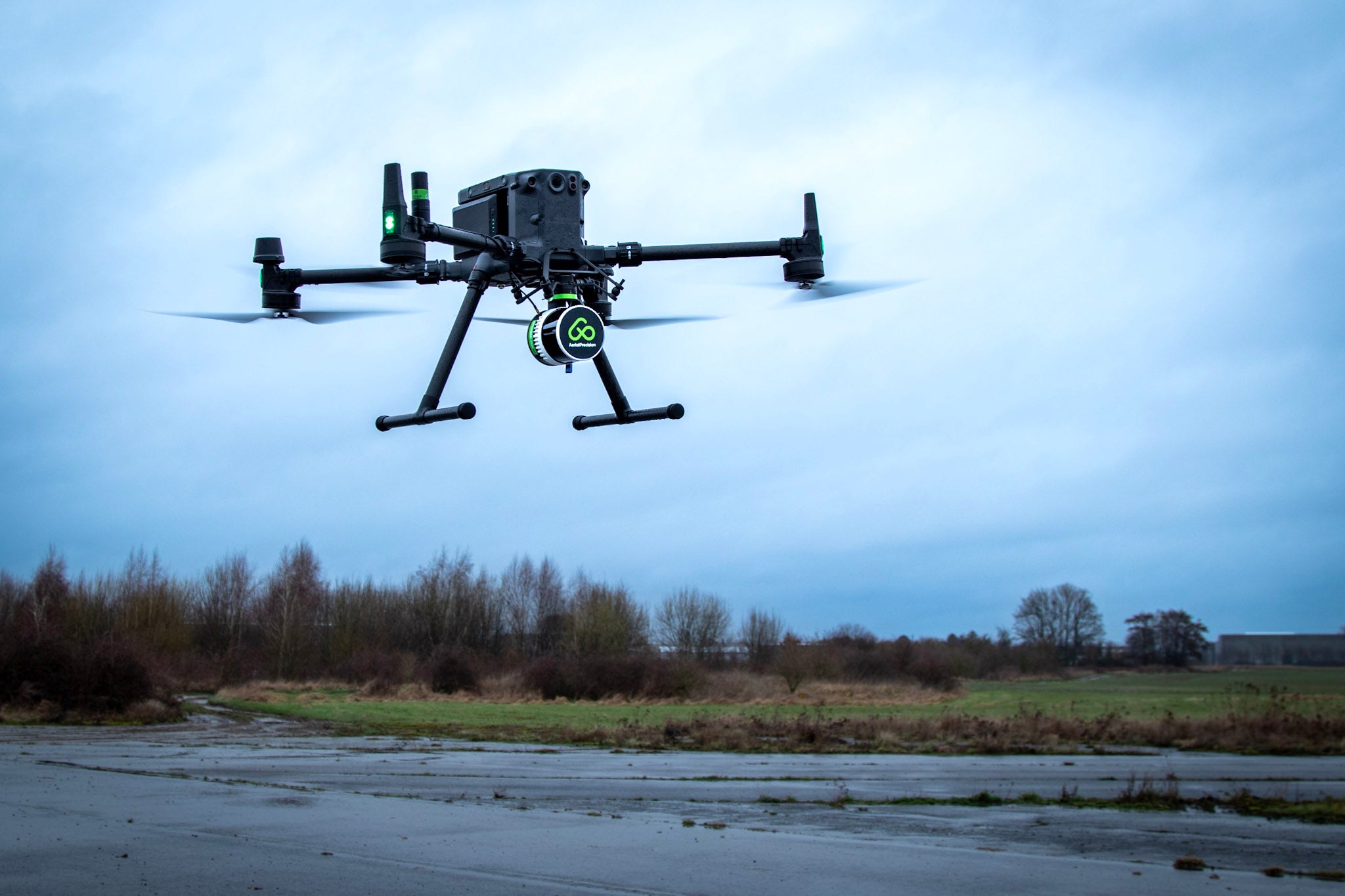
ON-SITE LiDAR 3D MAPPING
Capture LiDAR data with any drone or mobile vehicle.
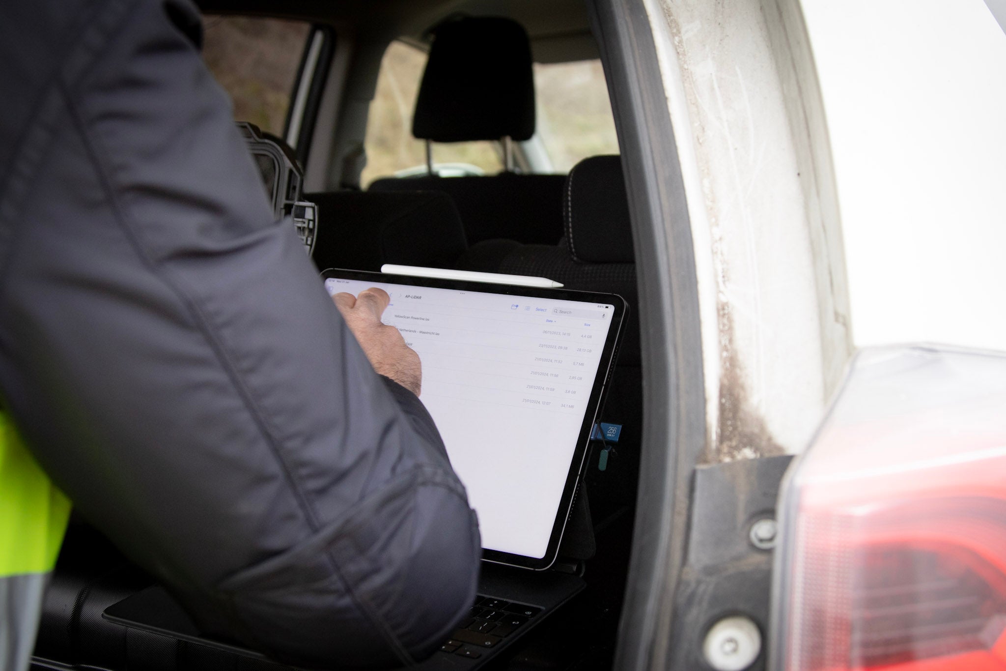
Process it with an iPad while in the field in minutes.
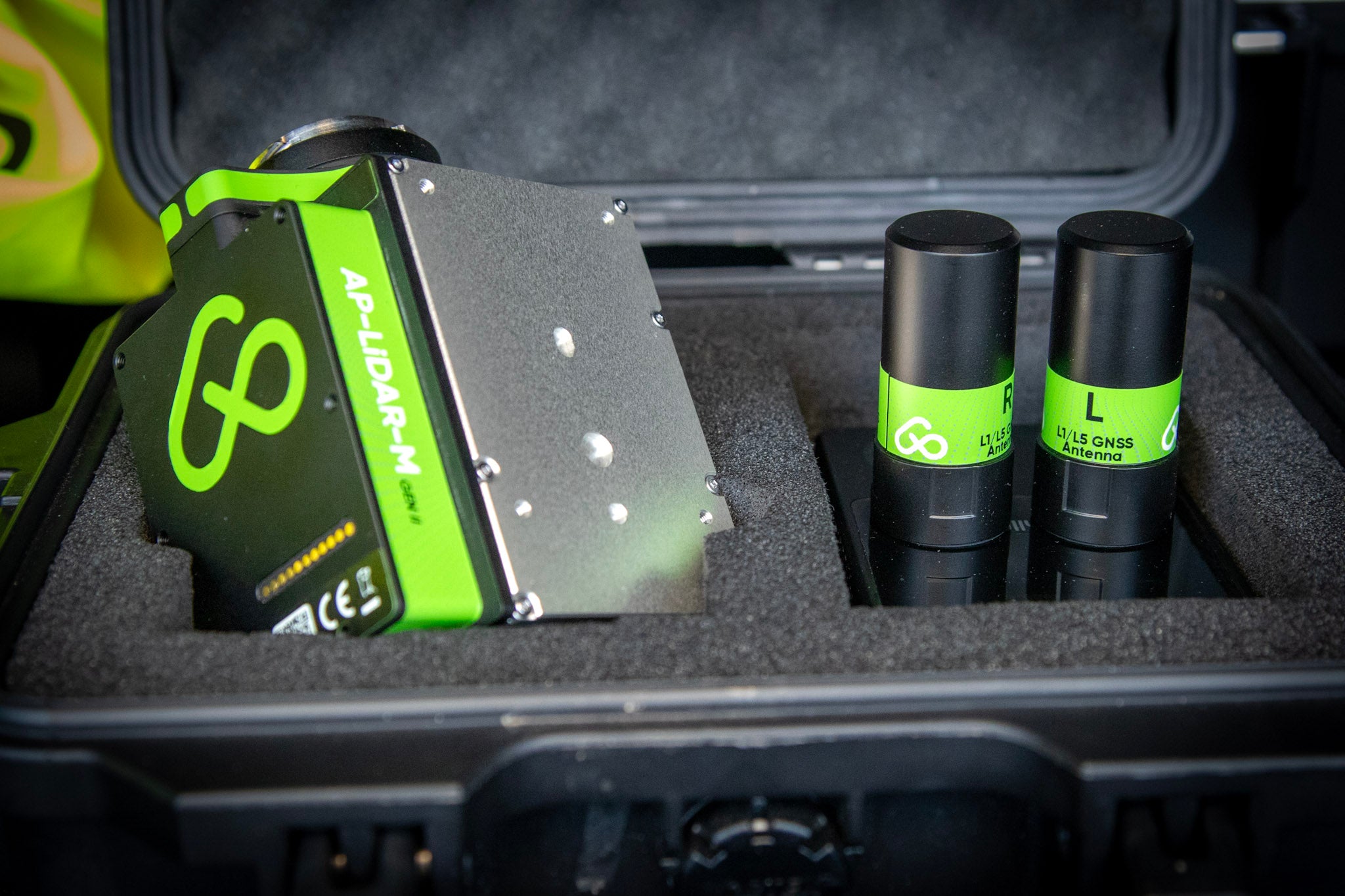
TWO SENSORS,
UNLIMITED POSSIBILITIES
UNLIMITED POSSIBILITIES
-
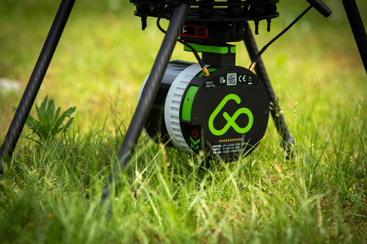
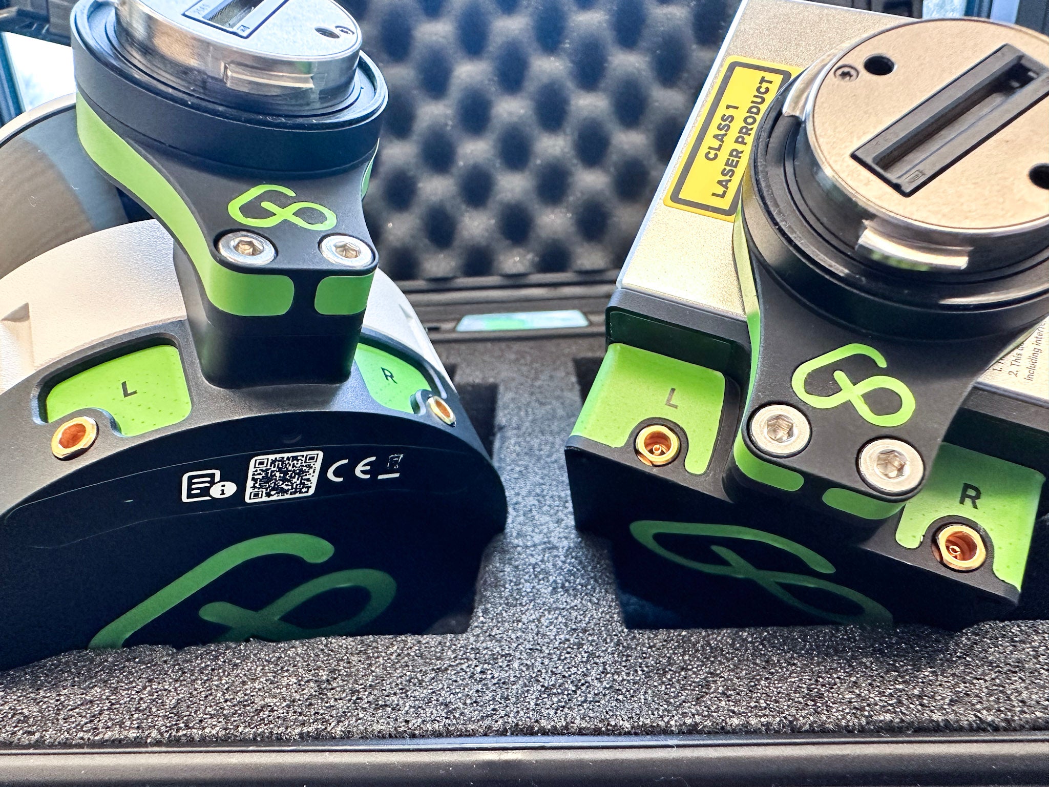
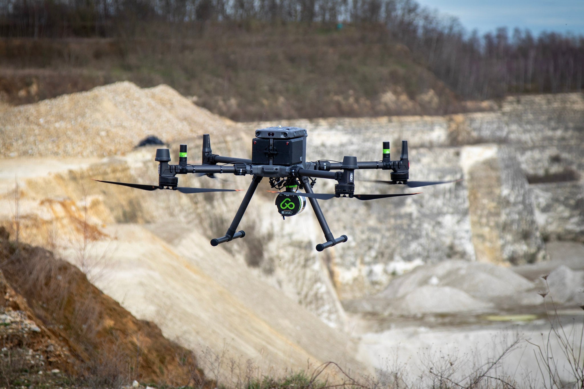
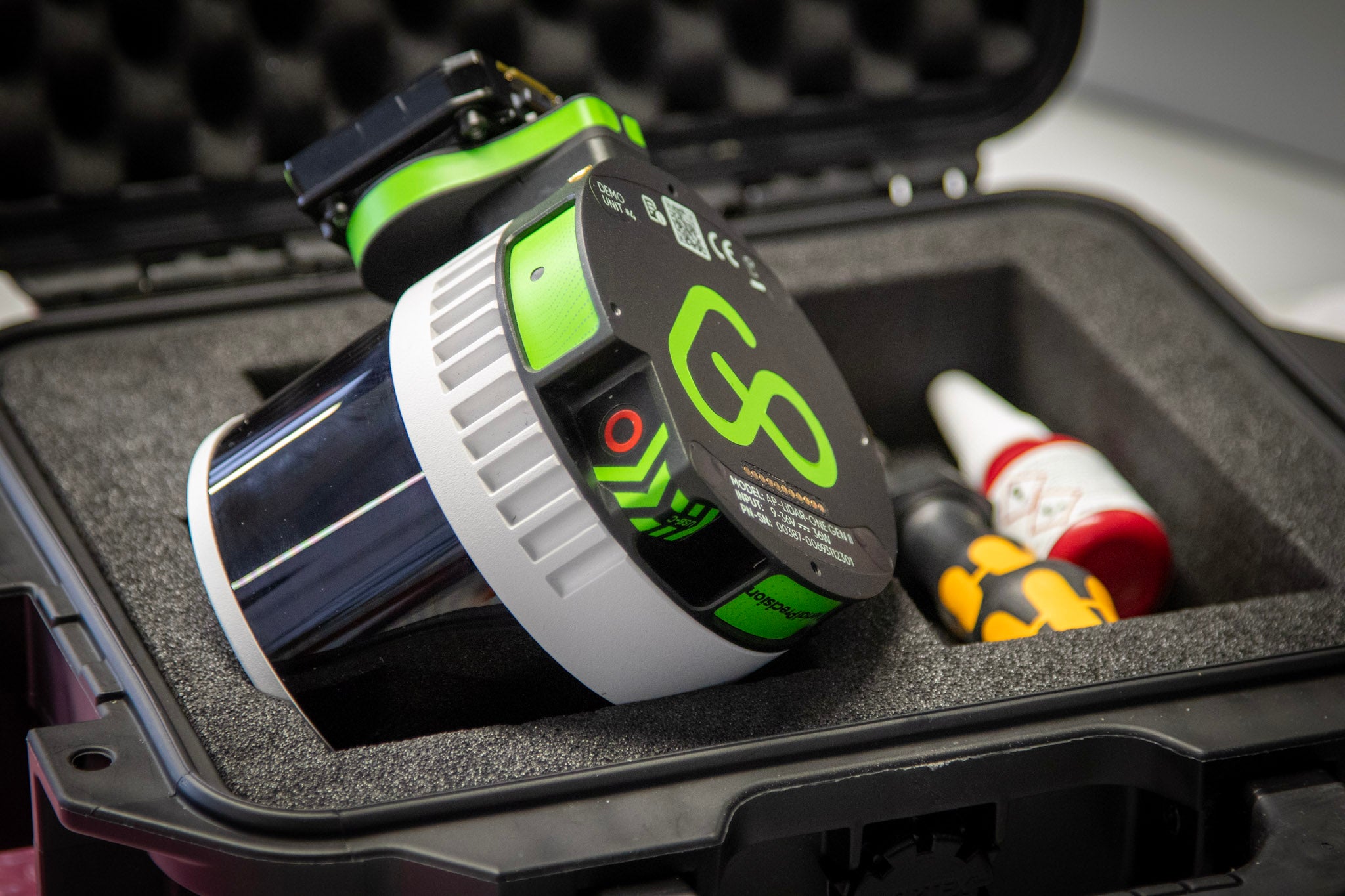
AP-LiDAR-One GEN II
Superior LiDAR sensor for Aerial and Mobile 3D mapping
32 lasers channels
±3 cm (1.2 in) accuracy
Triple Returns
300 m range
360° x 40° FOV
650 grams
Aerial and Mobile mapping
Learn more
-
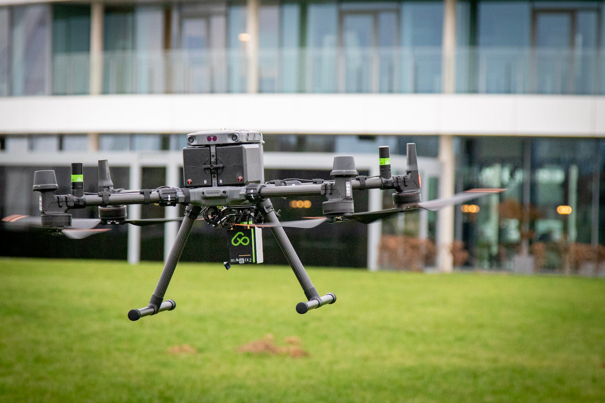
AP-LiDAR-M GEN II
Entry-level LiDAR sensor for Aerial 3D mapping
6 lasers channels
±5 cm (2 in) accuracy
Triple Returns
450 m range
70° x 77° FOV
690 grams
Aerial mapping
Learn more


ONE APP,
TO RULE THEM ALL
TO RULE THEM ALL
Process AP Scans in the field with PPK
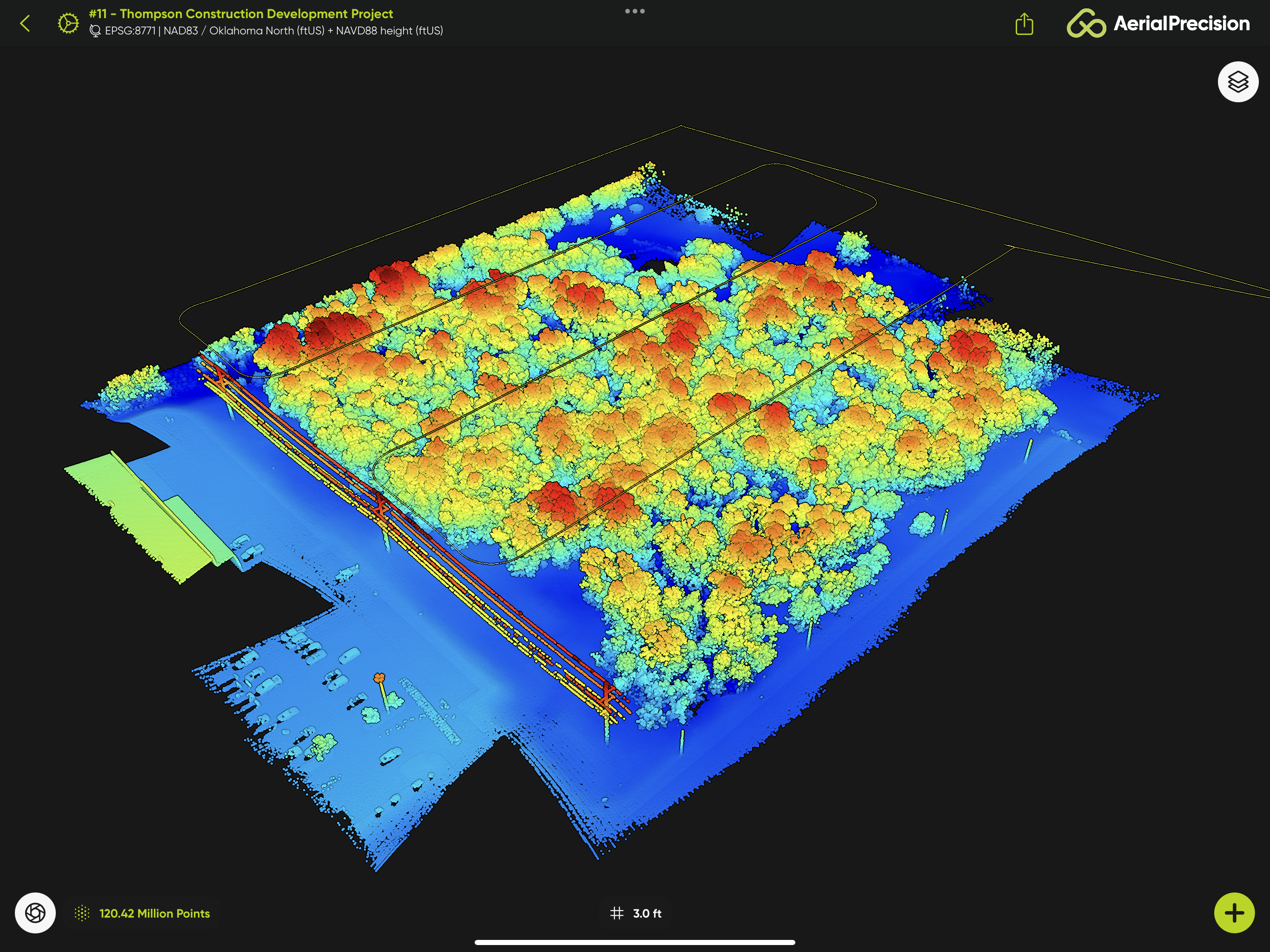
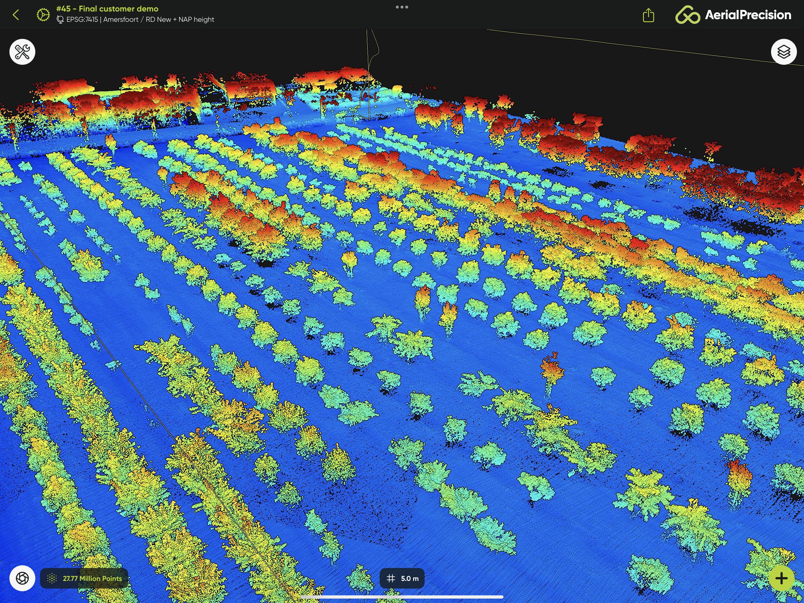
Coordinate Reference Systems
Align to GCPs
Export to LAS or LAZ


LATEST UPDATES
View all-

LiDAR software: the hidden costs that slow you ...
Ana RouxinolDiscover the hidden costs and workflow challenges of LiDAR software, and how FLUX and Flow App provides a flexible, transparent solution.
LiDAR software: the hidden costs that slow you ...
Ana RouxinolDiscover the hidden costs and workflow challenges of LiDAR software, and how FLUX and Flow App provides a flexible, transparent solution.
-

On-site point cloud processing on iPad and iPhone
Ana RouxinolAt Aerial Precision, we introduced the idea of processing point clouds on-site using mobile devices. At first, many professionals doubted it. The conventional model: capture in the field, upload, then...
On-site point cloud processing on iPad and iPhone
Ana RouxinolAt Aerial Precision, we introduced the idea of processing point clouds on-site using mobile devices. At first, many professionals doubted it. The conventional model: capture in the field, upload, then...
-

Unveiling FLUX: Freefly's groundbreaking first ...
Ana RouxinolFreefly Systems introduced FLUX, its first LiDAR solution. This launch represents a significant advancement for the mapping and surveying community. FLUX is designed to deliver exceptional simplicity, speed, and accuracy,...
Unveiling FLUX: Freefly's groundbreaking first ...
Ana RouxinolFreefly Systems introduced FLUX, its first LiDAR solution. This launch represents a significant advancement for the mapping and surveying community. FLUX is designed to deliver exceptional simplicity, speed, and accuracy,...


