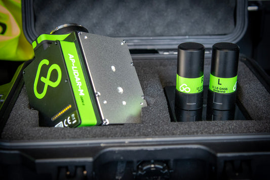
SAMPLE DATA
Install the Aerial Precision app

Create a New Project
Download a sample point cloud
Import the LAZ File
-

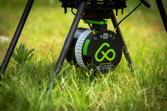
Droneport with AP-LiDAR-M Gen II
Detailed point cloud of Droneport, location of our Belgium office, featuring more than 100 million points captured in under 12 minutes and processed in just 8 minutes with an iPad...
Droneport with AP-LiDAR-M Gen II
Detailed point cloud of Droneport, location of our Belgium office, featuring more than 100 million points captured in under 12 minutes and processed in just 8 minutes with an iPad...
-

Open Chalk Mine with AP-LiDAR-M Gen II
Extensive point cloud featuring an open chalk mine with a vertical wall of more than 40 m with millions of points captured in under 24 minutes and processed in just...
Open Chalk Mine with AP-LiDAR-M Gen II
Extensive point cloud featuring an open chalk mine with a vertical wall of more than 40 m with millions of points captured in under 24 minutes and processed in just...
-

Forest
Incredible point cloud featuring a dense forest area and parking lot with thousand of ground point below the tree canopy captured in 10 minutes and processed in just 5 minutes while in the...
Forest
Incredible point cloud featuring a dense forest area and parking lot with thousand of ground point below the tree canopy captured in 10 minutes and processed in just 5 minutes while in the...


MADE WITH
-
AP-LiDAR-One GEN II
Superior LiDAR sensor for Aerial and Mobile 3D mapping
32 lasers channels
±3 cm (1.2 in) accuracy
Triple Returns
300 m range
360° x 40° FOV
650 grams
Aerial and Mobile mapping
Regular price €31.950,00Regular priceUnit price per€31.950,00Sale price €31.950,00Learn more
-
AP-LiDAR-M GEN II
Entry-level LiDAR sensor for Aerial 3D mapping
6 lasers channels
±5 cm (2 in) accuracy
Triple Returns
450 m range
70° x 77° FOV
690 grams
Aerial mapping
Regular price €10.975,00Regular priceUnit price per€10.975,00Sale price €10.975,00Learn more