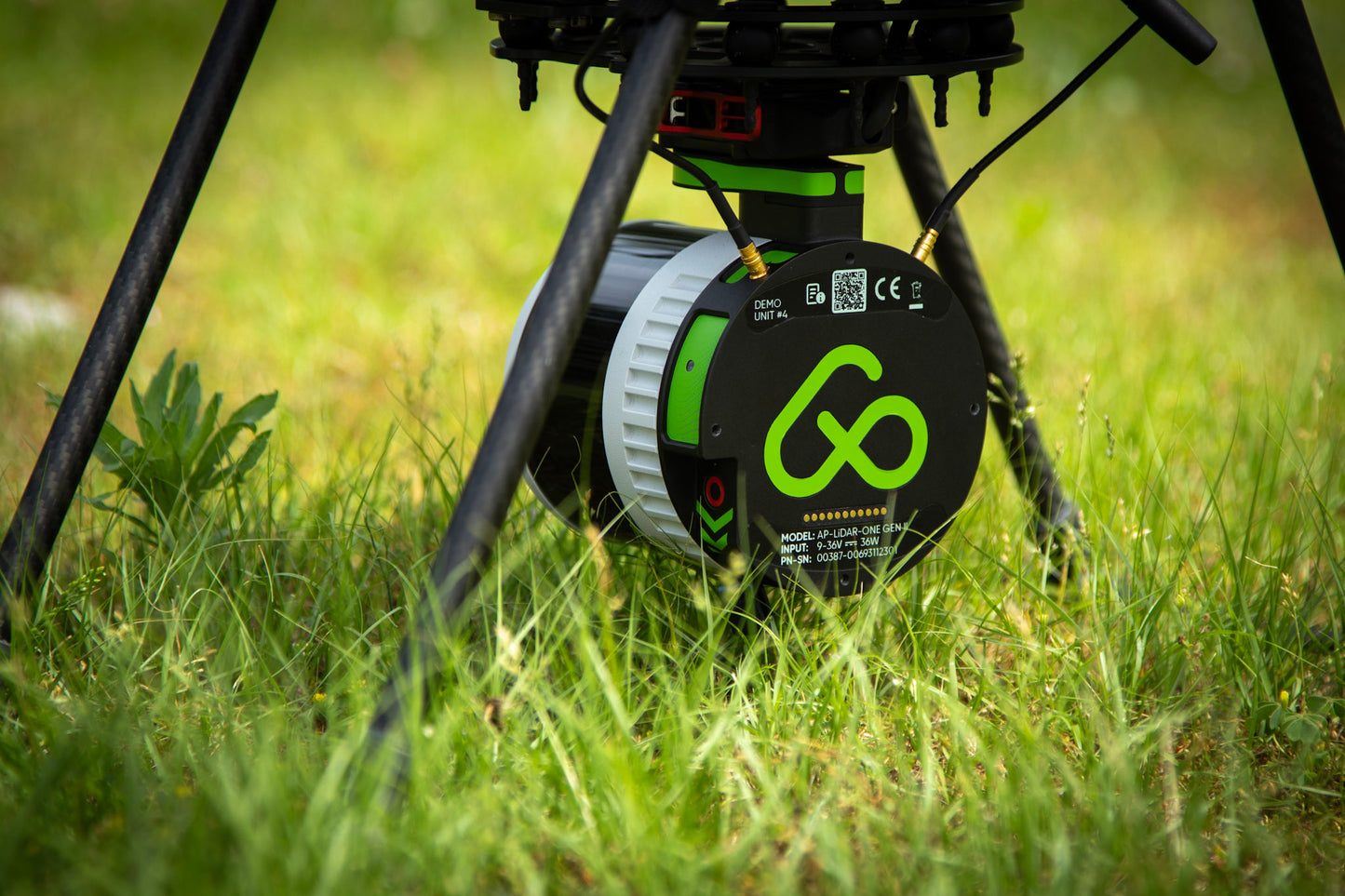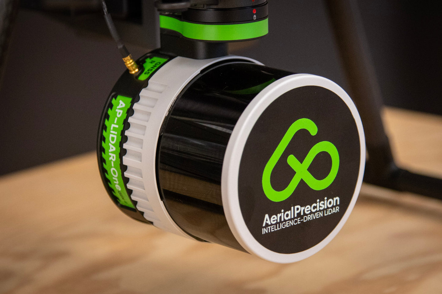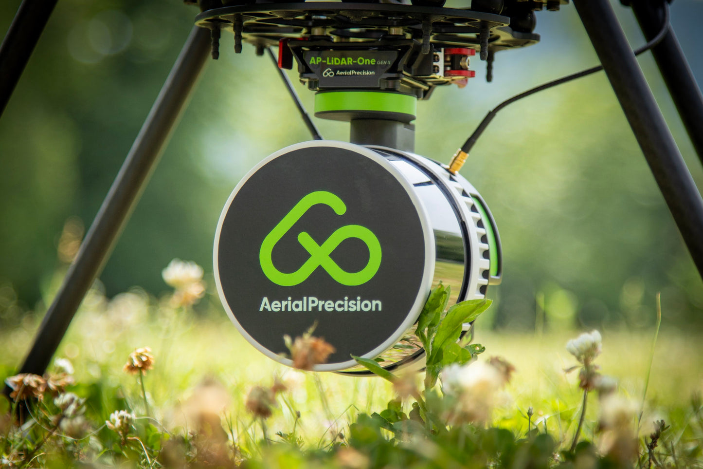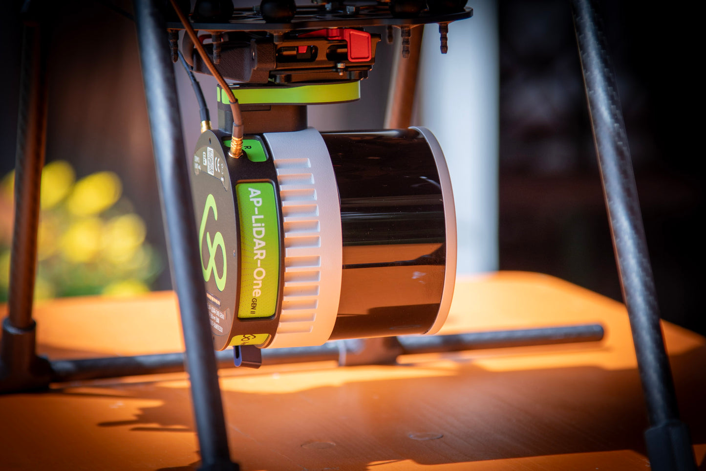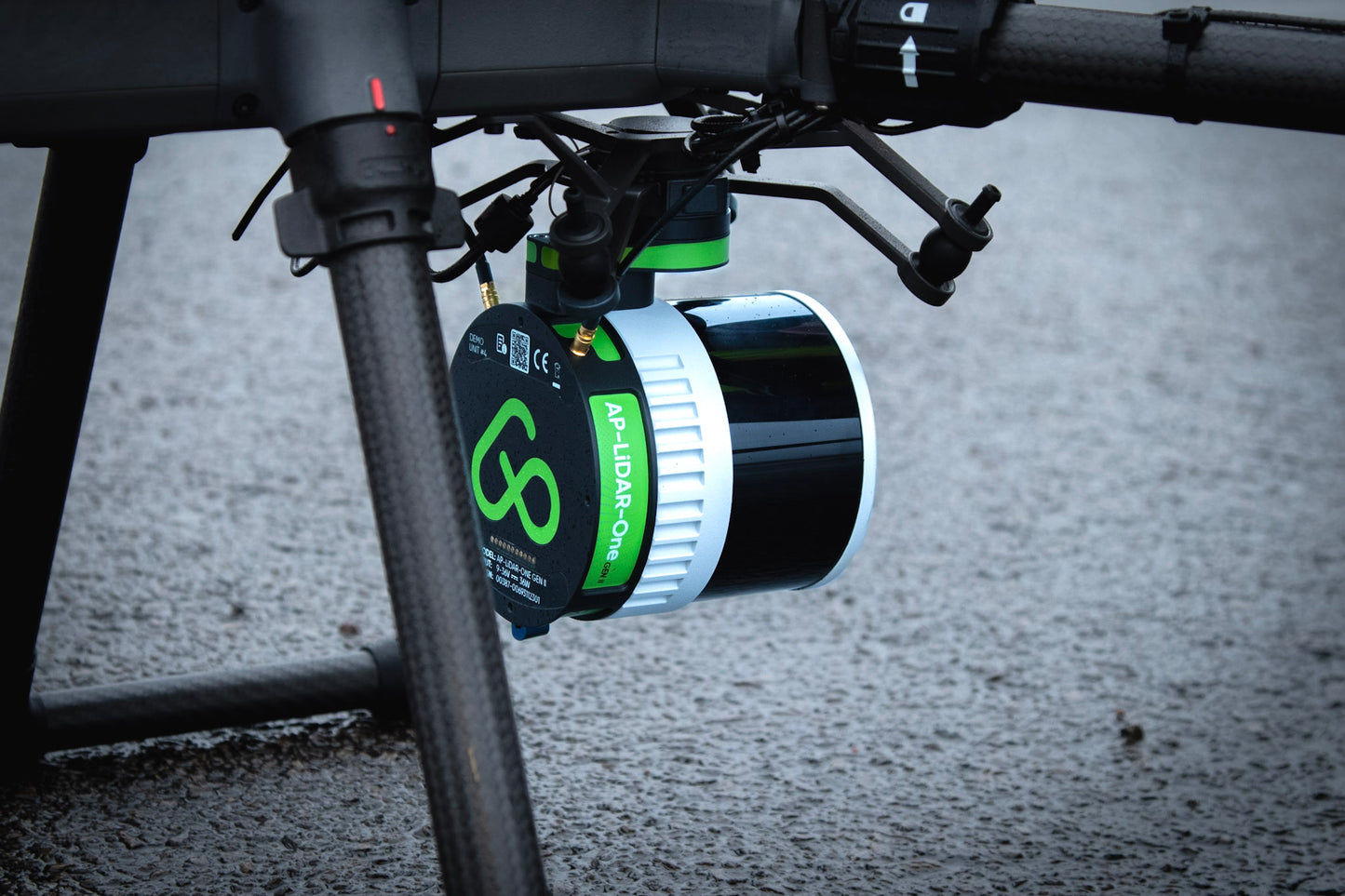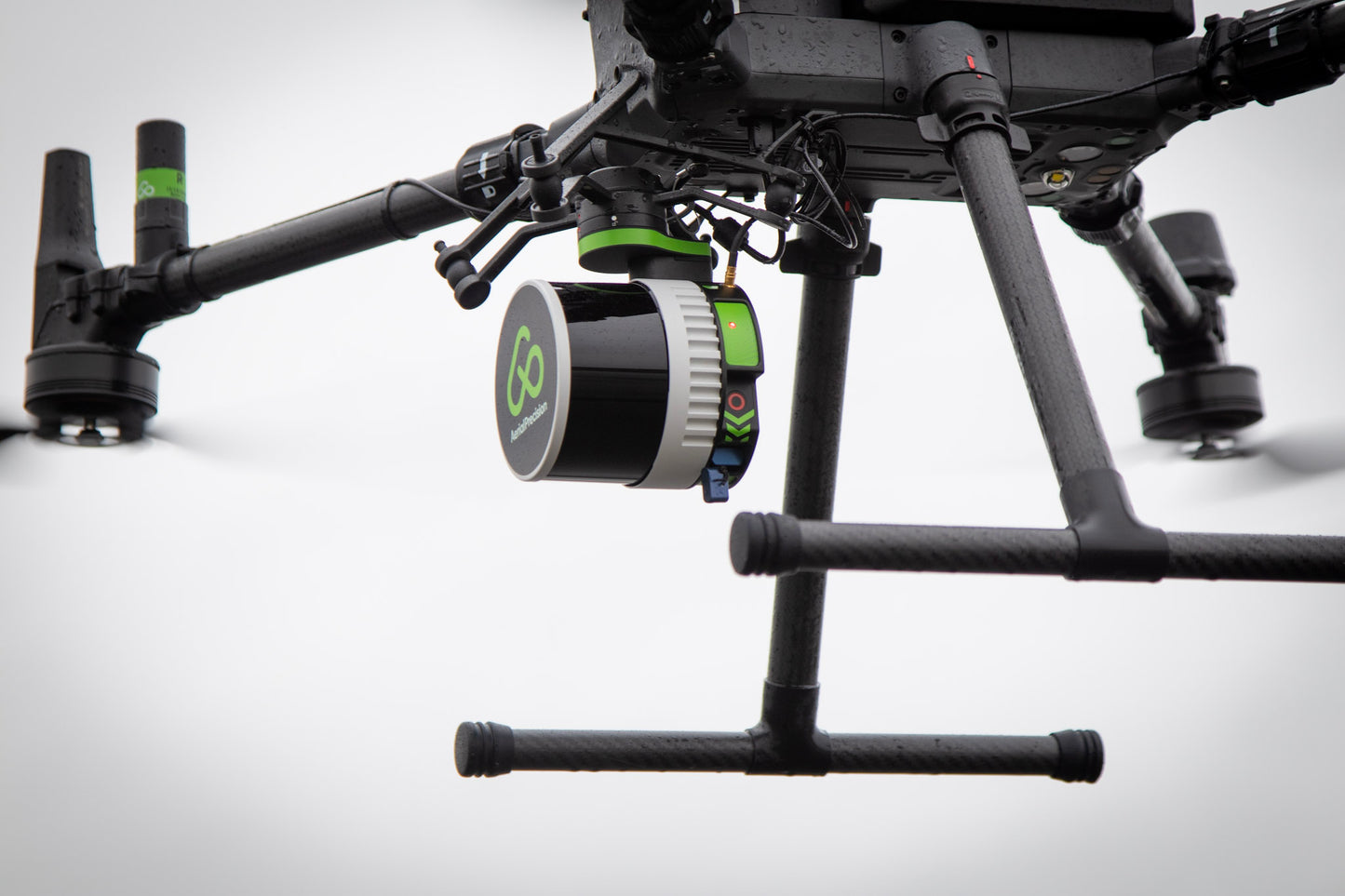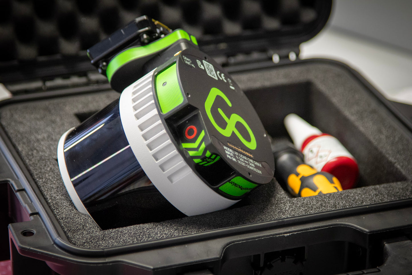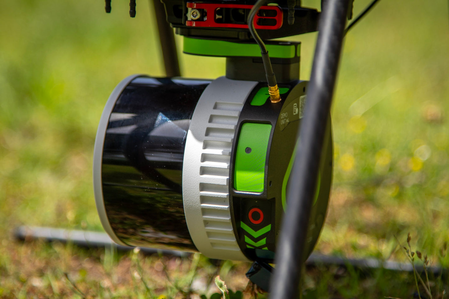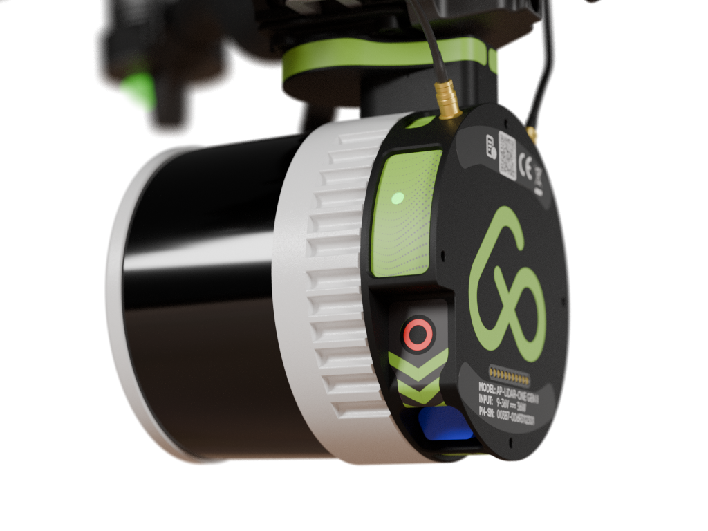
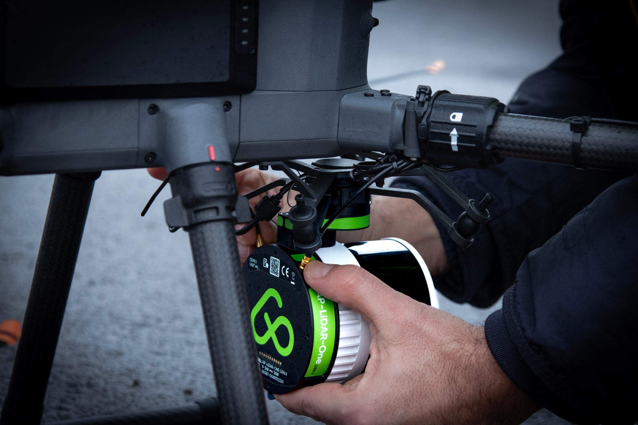
AP-LiDAR-One GEN II
Superior LiDAR sensor for Aerial and Mobile 3D mapping
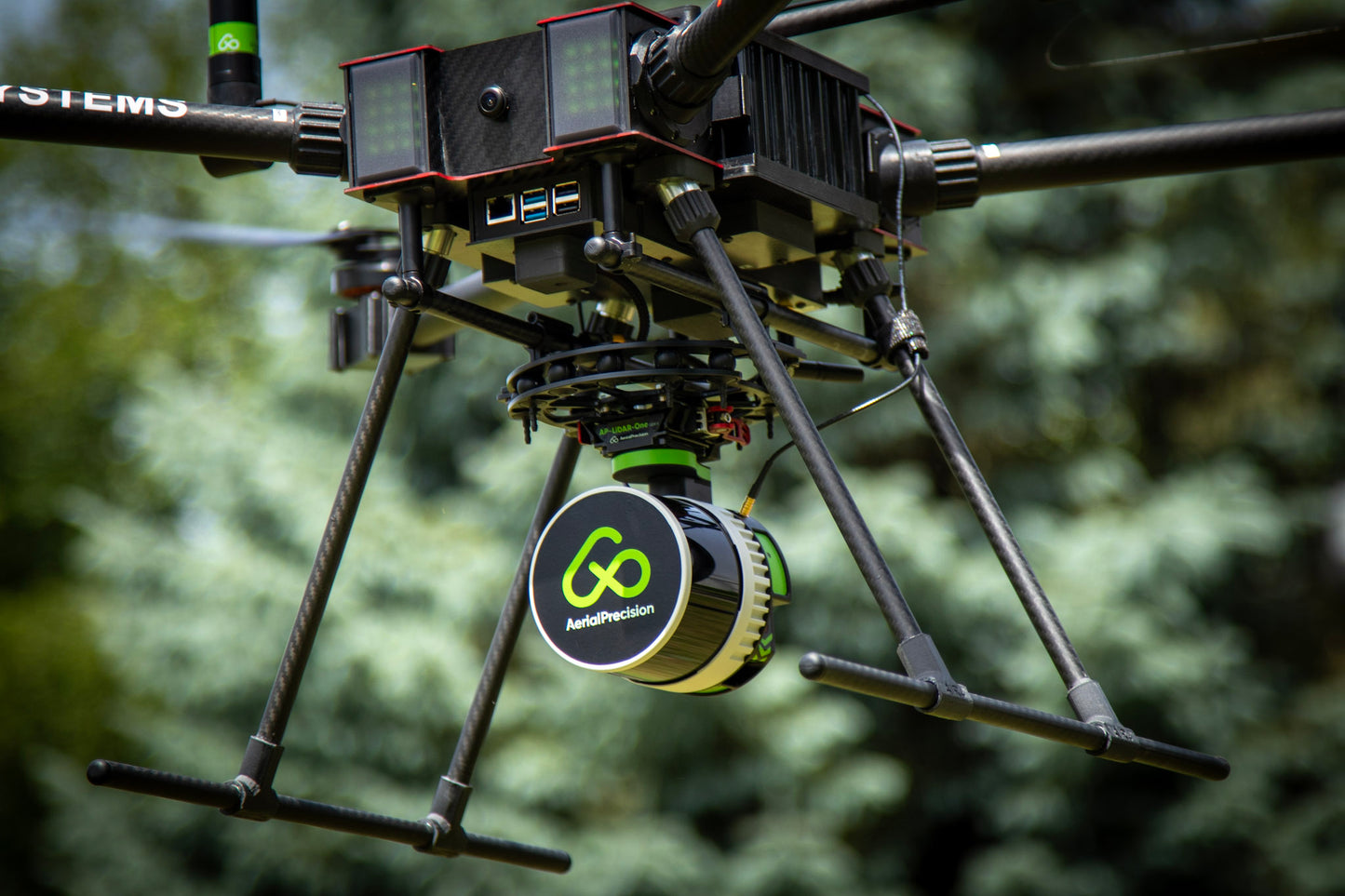
The ultimate solution for fast, accurate on-site 3D LiDAR mapping, seamlessly integrated into the DJI M350, Freefly Astro or any other drone.
Process your LiDAR data on-site in minutes, no internet, no cloud, no limits.
THE SIMPLEST LiDAR WORKFLOW
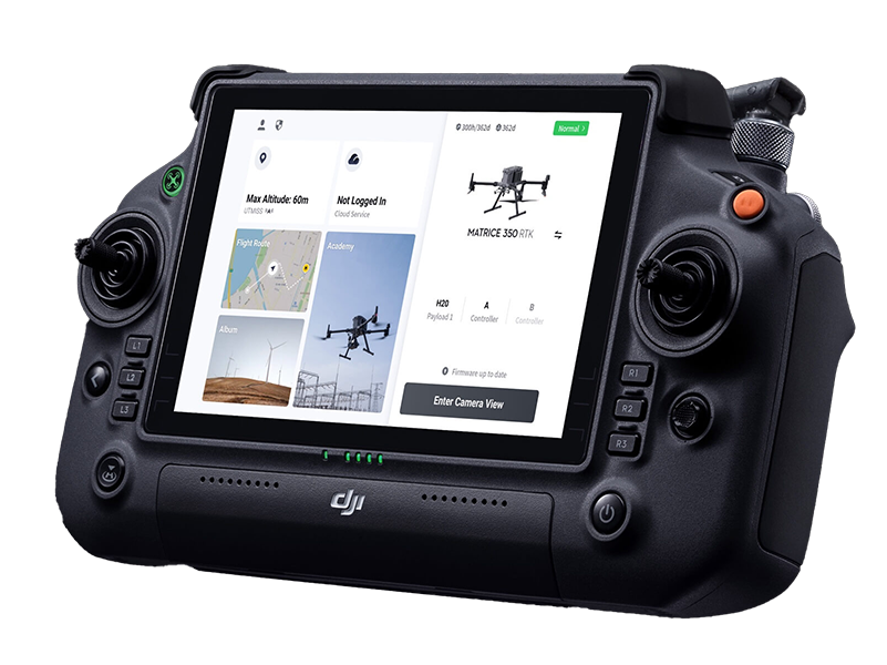
PLAN YOUR MISSION LIKE A PRO
Use your preferred mission planning app to map out your survey.
Set the altitude between 10 and 100 meters.
Adjust the lateral overlap to match the flight track separation for optimal coverage.
Choose a speed between 1 and 15 m/s to balance point density and mission duration.
This ensures precision and efficiency, whether you're surveying dense vegetation or urban landscapes.

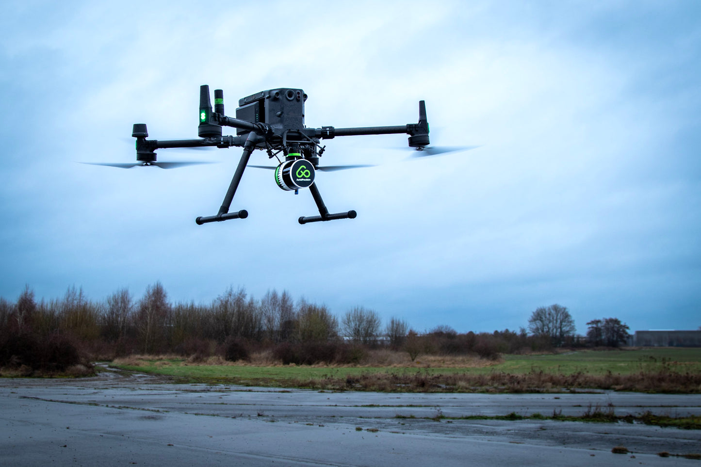
PRESS RECORD & TAKE-OFF
With a single press of the REC button, you're ready to collect up to 1.9 million points per second.
The system automatically syncs IMU, GNSS, and LiDAR data, storing it securely on the USB-C flash drive.
Spend less time worrying about equipment and more time focusing on your mission.
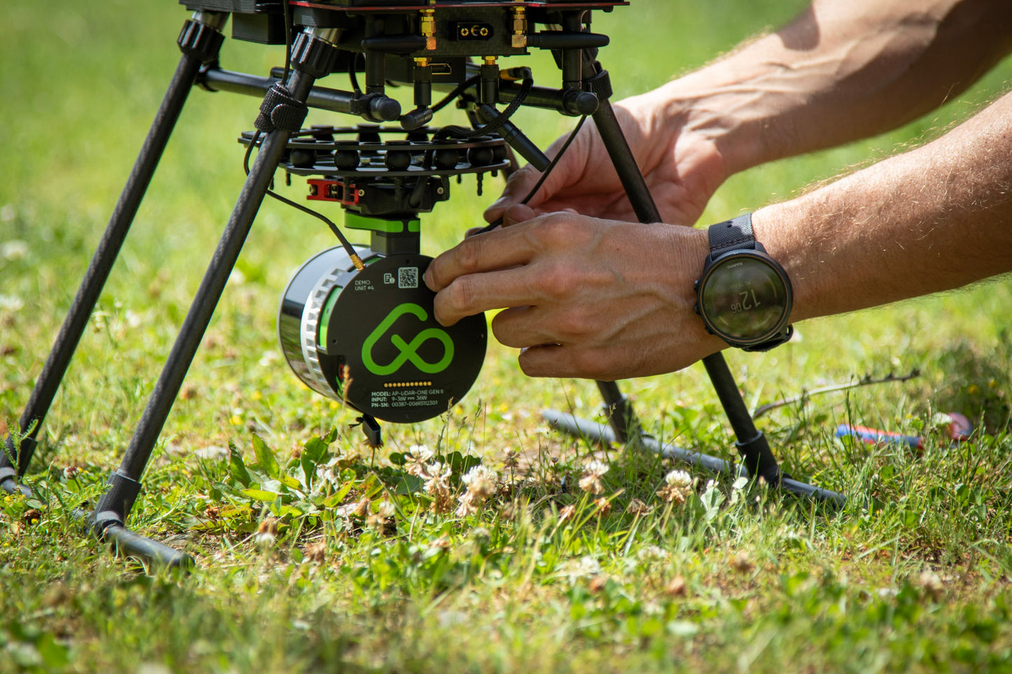
SKIP CALIBRATION - FLY FREELY
Forget about time-consuming calibration passes or tricky flight patterns.
Take off vertically, fly directly to your first waypoint, and start surveying immediately.
Our advanced processing ensures that strips align perfectly every time.
This streamlined approach saves time and boosts efficiency, giving you flawless results faster.
SECURE YOUR DATA IN SECONDS
After landing, simply press STOP to finalize the recording. Your data is instantly saved to the USB-C flash drive and fully prepared for processing.
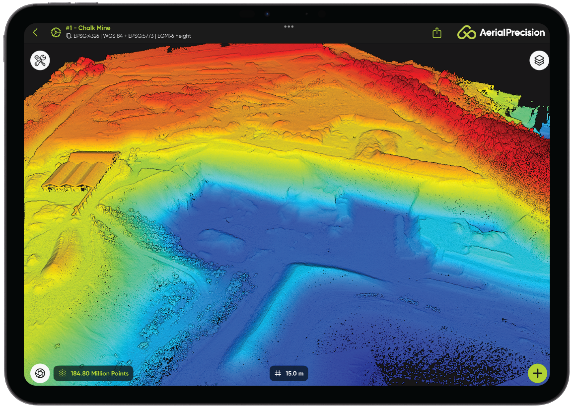
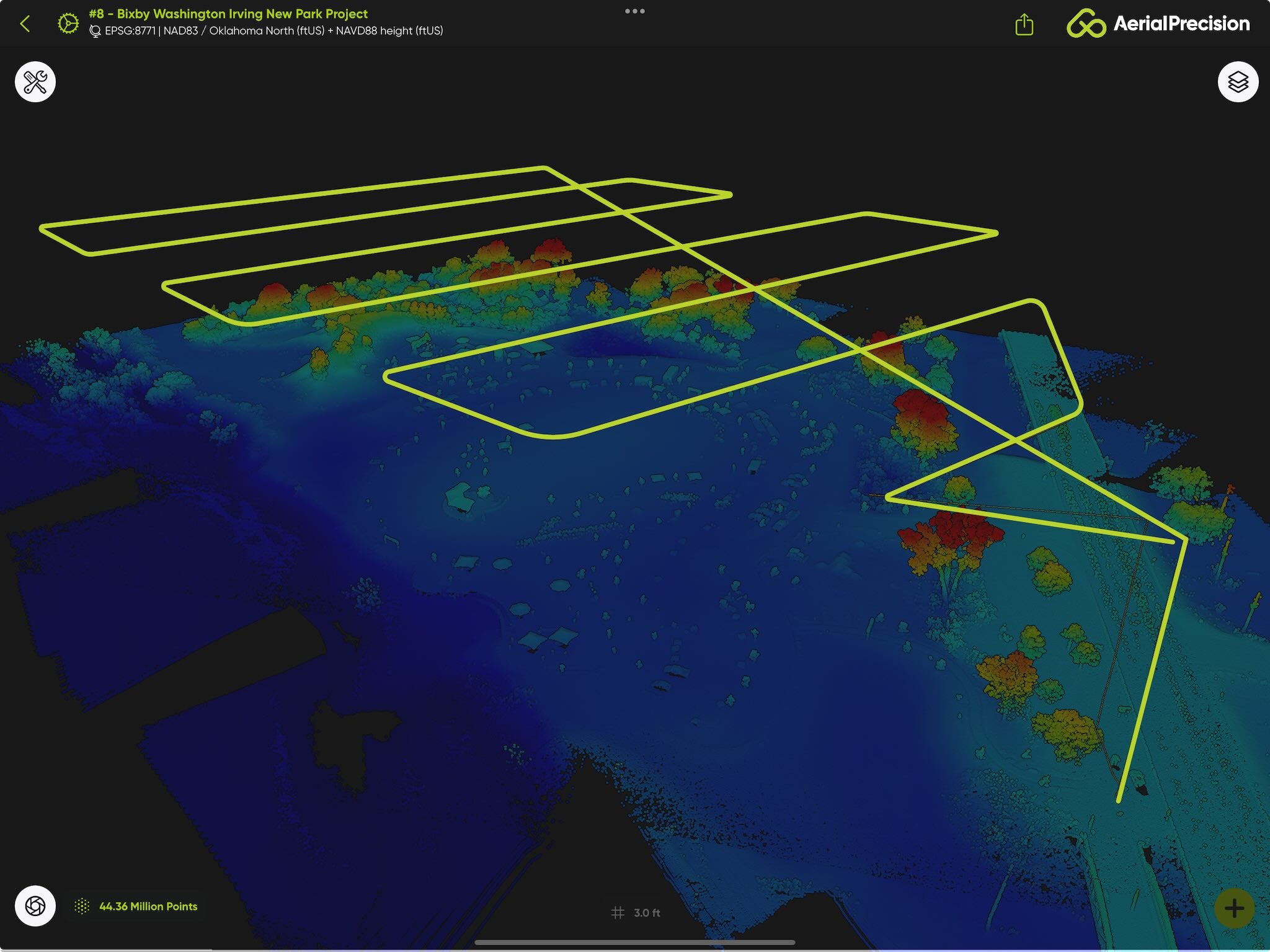
PROCESS THE LiDAR DATA ON-SITE IN MINUTES
Don't wait to get back to the office. While still on-site, use our app to import the data from the USB-C flash drive into a new project.
Add the ground station's RINEX file for the GNSS post-processing.
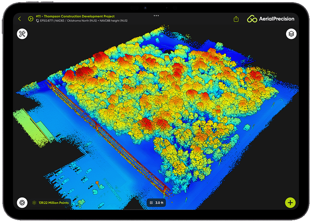
In just a few minutes, a highly accurate, dense point cloud is produced and ready for analysis. It has never been easier to verify and check that the dataset is full and complete.
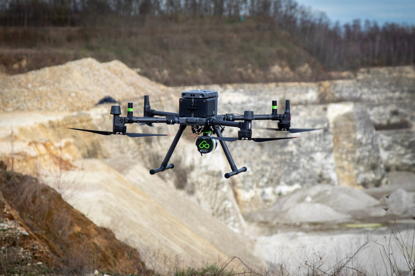
Whether it's vegetation mapping, terrain modeling, or infrastructure inspection, you'll have actionable insights on the spot.
WHY CHOOSE THIS WORKFLOW?
SAMPLE DATA
Install the Aerial Precision app

Create a New Project
Download a sample point cloud
Import the LAZ File
-

Forest
Incredible point cloud featuring a dense forest area and parking lot with thousand of ground point below the tree canopy captured in 10 minutes and processed in just 5 minutes while in the...
Forest
Incredible point cloud featuring a dense forest area and parking lot with thousand of ground point below the tree canopy captured in 10 minutes and processed in just 5 minutes while in the...