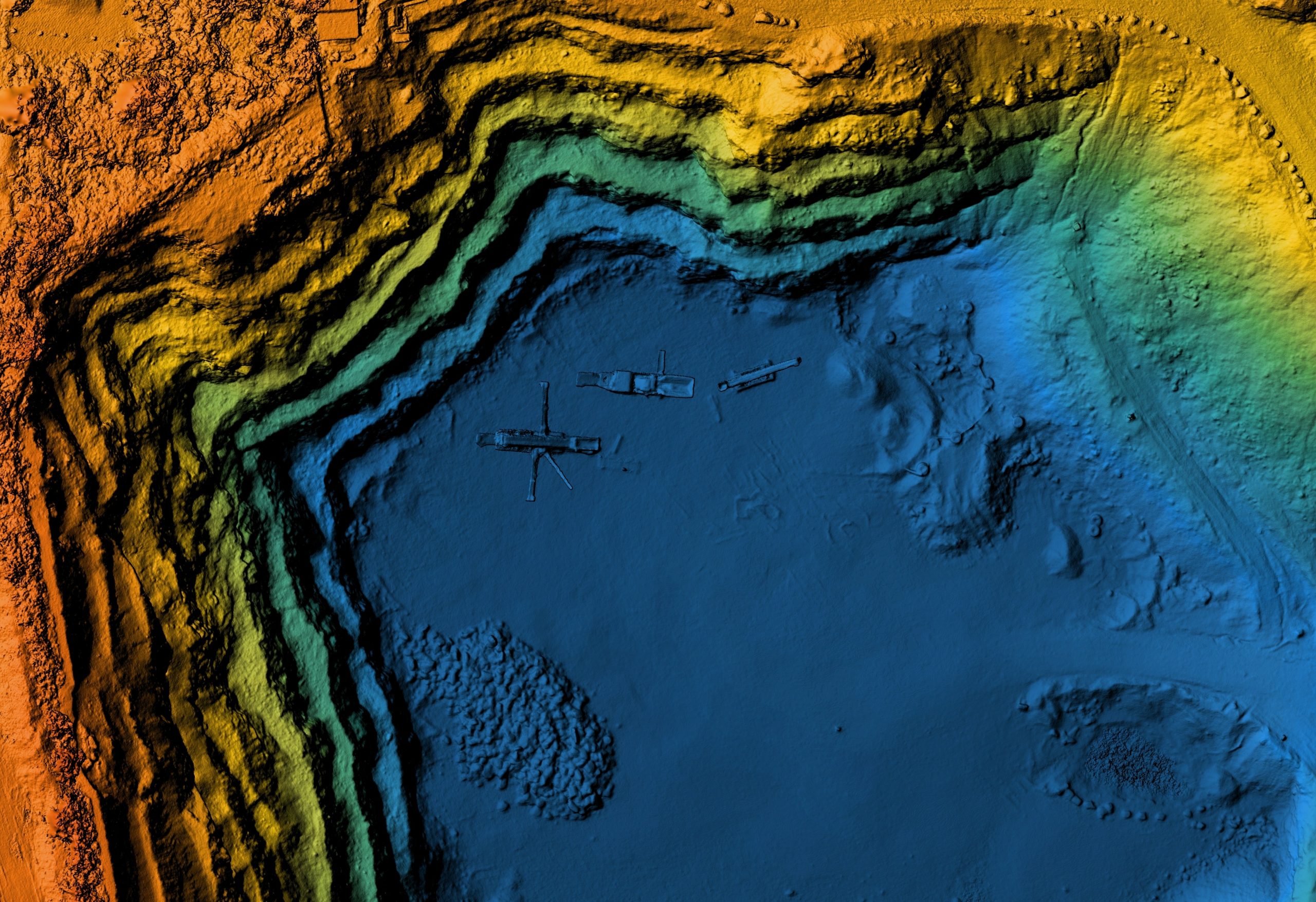
LiDAR vs Photogrammetry: What's The Difference?
In this post, we will understand what photogrammetry is and how it differs from LiDAR. It is difficult to say that one is better than the other, but we can try to understand which is more accurate.
Since we already know what a LiDAR system is, it is time to understand what photogrammetry is. Photogrammetry is the science, technique, and technology responsible for obtaining reliable information about physical objects and the environment through registering, measuring, and interpreting photographic images. The captured overlapping photos are processed to generate accurate models of the space.
Its primary purpose is to reconstruct a three-dimensional (3D) model made from a set of two-dimensional (2D) images.

Photogrammetry has a vast range of applications, being used for purposes such as forensic mapping of crime scenes, mining or even in precision agriculture.
Being an indirect measurement method and using a large number of digital images, the data processing takes considerably longer, requiring robust hardware to run successfully.
In short, this is a labor- and time-intensive process to be able to process photogrammetry data from large areas.
Although both technologies can generate excellent products for aerial drone mapping, they have some significant differences.
The main difference is in light production, which is the main advantage of LiDAR over photogrammetry because LiDAR produces its ownlight. This is why some problems that can disturb aerial data collection for photogrammetry, such as weather conditions like cloud cover and changing lighting conditions, do not affect the LiDAR system.
Photogrammetry, on the other hand, is highly dependent on sunlight. Aerophotogrammetric surveys must take place at times of high incidence of sunlight are very sensitive to shading.
Also, photogrammetry, as is depending on photos, loses out by only reconstructing what is visible on the surface or on the canopy of covered areas such as in forests or dense vegetation. In contrast, LiDAR can penetrate the spaces between pieces of foliage and pick up small details. The laser pulse will see between the leaves and give a measurement directly on the trunk of the tree or the ground under the tree canopy.
Let’s understand photogrammetry better by understanding its main advantages and disadvantages. When we talk about the benefits of photogrammetry, the first that comes to mind is its accessibility. Both in the ease of access to this technology and in the comfort of understanding its results. It is possible to work without dedicating too much time to data manipulation because the maps and models with recognizable features and colors are intuitive, making them a great collaborative tool.
On the other hand, LiDAR is the most suitable method to obtain accurate and a realistic earth models and is, therefore, the best method to take into account elevation, vegetation, and existing conditions.
However, it is possible to generate very similar products with the most modern methods of digital photogrammetry, depending primarily only on the quality of the sensors, proper flight execution, and data processing.
Of course, these technologies are not all advantages; both have some disadvantages.
As seen, the use of photogrammetry depends mainly on the quality of the camera, thus compromising the accuracy of maps and models.
After understanding each system’s characteristics, advantages, and disadvantages, we can see that it is not easy to say that one is better than the other. The best solution depends on the task at hand. Still, we can tell which one has better behavior in terms of accuracy and performance under different conditions. For that characteristics, the LiDAR system is the one that represents the topology of the terrain more accurately and the one that can perform well regardless of the conditions. It can also provide results in real-time as the 3D points are directly captured and not derived from photos. Therefore a LiDAR systems present itself as the most cost-effective solution.
