

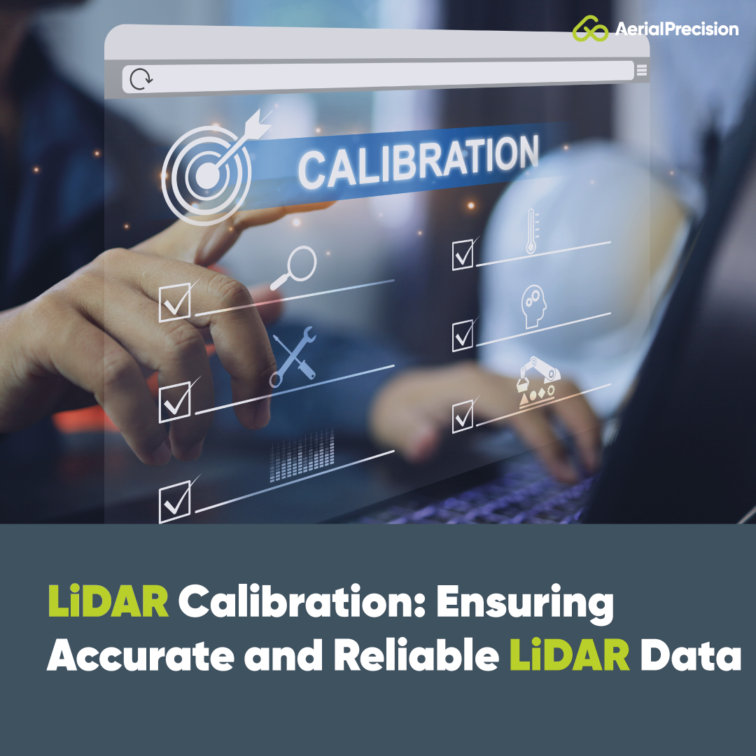
LiDAR Calibration: Ensuring Accurate and Reliable LiDAR Data
Ana Rouxinol
LiDAR (Light Detection and Ranging) technology is renowned for capturing high-resolution 3D data quickly and accurately. It is used in various industries, including construction, forestry, environmental monitoring, infrastructure inspection, etc. However, calibration is crucial for LiDAR systems to provide the precise measurements they're known for.
In this blog post, we'll explore the importance of LiDAR calibration, how the process works, and why it is essential to ensure the accuracy and reliability of your LiDAR data.
What is LiDAR Calibration?
LiDAR calibration is the process of ensuring that all components of the LiDAR system work in harmony to collect accurate data. This involves aligning the various sensors in the system, such as the laser scanner, GNSS unit, and IMU, to ensure that the 3D point clouds generated accurately reflect the real-world environment.
When LiDAR systems are used for aerial mapping, autonomous vehicle navigation, or surveying, even minor errors in the calibration process can lead to skewed data, affecting decision-making and project outcomes.
Why is LiDAR Calibration Important?
Calibrating a LiDAR sensor ensures the data collected is as accurate as possible, minimizing errors and discrepancies. Here are several reasons why calibration is a critical aspect of any LiDAR system:
- Maximized Accuracy: LiDAR systems measure distances by emitting laser pulses and calculating the time it takes for the pulse to return after reflecting off a surface. Any misalignment in the hardware, such as the laser or IMU, can result in significant errors in distance measurements. Proper calibration ensures the system captures the correct data and maintains consistent accuracy over time.
- Consistent Data Quality: Calibration ensures that the LiDAR system performs optimally whenever it is used. If a system is not correctly calibrated, the data quality may degrade over time, making it unreliable. Regular calibration ensures that the LiDAR unit continuously collects high-quality, dependable data.
- Increased Reliability for Long-Term Projects: Many industries, such as infrastructure monitoring and environmental studies, rely on long-term LiDAR data collection. Accurate calibration allows for reliable data comparisons over time. This is especially crucial for projects that monitor topography, vegetation, or building structure changesstructure changes.
- Time and Cost Efficiency Errors: LiDAR data can be time-consuming and expensive. Misalignments caught after a survey or project completion may require a complete re-do of the data collection, leading to delays and added costs. Proper calibration helps avoid these costly errors, saving time and resources.
When Should You Calibrate Your LiDAR System?
LiDAR systems should be calibrated during initial setup and after any significant changes to the hardware or software. Regular calibration is also recommended to maintain accuracy over time, particularly when the system is used in varying conditions, such as different altitudes, weather environments, or terrains.
Here are common scenarios where recalibration might be necessary:
- After Transport: If the LiDAR system has been moved or transported to a new location, it may need recalibration to account for any changes or impacts during transit.
- Hardware Modifications: Any changes to the sensor setup, such as swapping out cameras, adding new GPS units, or modifying the drone mount, can disrupt alignment and require recalibration.
- Environmental Shifts: Extreme temperature changes or variations in atmospheric conditions may affect the precision of the system's measurements.
- Periodic Checks: Even if no significant changes have occurred, it is still recommended to periodically check the calibration of the LiDAR system to ensure ongoing accuracy and reliability.
How is LiDAR Calibration Done?
Calibration can be done manually or through automated software tools. The process involves aligning several sensors, such as the laser scanner, GNSS, and IMU, to ensure that their readings correspond accurately.
Here are some typical steps in the LiDAR calibration process:
- Aligning Laser and IMU: The laser scanner must be precisely aligned with the IMU to ensure that the spatial data collected corresponds to the IMU's position and orientation data.
- GNSS Calibration: Accurate GNSS data is essential for georeferencing LiDAR point clouds. The GNSS data should be corrected for atmospheric disturbances of the signal to ensure the LiDAR data aligns correctly with geographic coordinates.
- System Tests and Validation: Test scans are conducted after initial alignment to validate the calibration and ensure the system accurately captures data. Any discrepancies are corrected before the system is deployed for full-scale data collection.
Aerial Precision: A Plug-and-Play LiDAR Experience with Built-in Calibration
Our LiDAR sensors are designed with ease of use in mind, and we prioritize accurate, field-ready data collection. Our systems come pre-calibrated in-house before shipping, reducing setup time and ensuring you get accurate data immediately.
Our sensors continuously calibrate themselves while capturing data using advanced sensor fusion algorithms that are capable of estimating sensor errors and compensating for them. Moreover, our on-site data processing allows you to validate your LiDAR scans in the field without returning to the office or waiting for lengthy cloud-based processing. Our app—included with every sensor at no extra cost—works directly with the LiDAR system, allowing you to process and analyze data on-site from your iPad without requiring an internet connection. Combining efficient calibration and edge processing helps streamline workflows and increase project efficiency.
Calibration is fundamental in ensuring your LiDAR system collects reliable, accurate data. Whether you're mapping complex terrains, inspecting infrastructure, or working on environmental monitoring projects, taking the time to calibrate your LiDAR sensor will save you time, money, and frustration down the line.
With Aerial Precision, we provide top-tier sensors and ensure they are ready to deliver when they arrive. Our combination of built-in calibration and on-site processing makes it easier than ever to capture and use high-quality LiDAR data wherever your projects take you.
Contact us today for more information on our LiDAR systems and how they can transform your workflows!


