

The benefits of a fully integrated LiDAR and Drone system
Ana Rouxinol
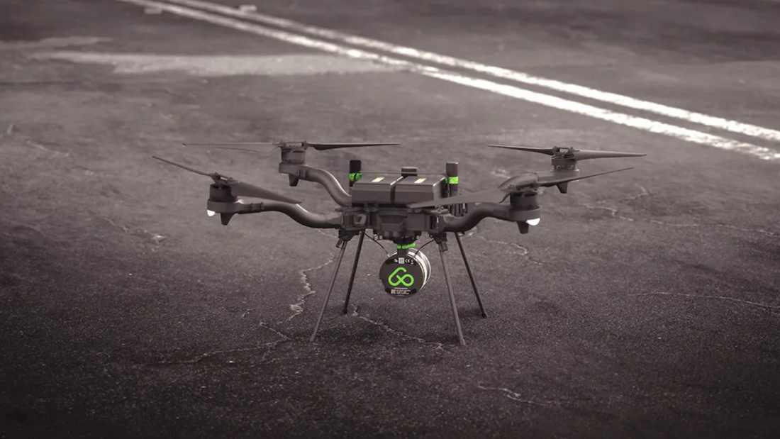
In aerial mapping, efficiency in the field is just as important as accuracy. While traditional LiDAR setups can involve a mix of components and connections, a fully integrated LiDAR + drone system offers a smarter, more reliable way to work, especially under real-world conditions.
Here's how full integration improves your workflow from planning to data delivery.
Reliable compatibility, fewer surprises
Even though fully integrated systems still require basic setup, like plugging in antennas, they eliminate the uncertainty of combining components from different manufacturers.
- You know the drone and sensor were designed to work together.
- You don't have to worry about signal timing, firmware mismatches, or hardware conflicts.
- The system behaves predictably, reducing field stress and ensuring smoother missions.
It's not about skipping every step. It's about removing the risk of failure and the time spent troubleshooting.
One environment to fly, monitor, and manage
The most significant advantage of a fully integrated system is working in one unified interface:
- Flight planning
- Sensor monitoring
- Real-time status checks
- Access to data logs
- In-field previews and quick post-processing
All this happens in a single environment, often on a tablet, without jumping between apps or devices.
That kind of workflow fluidity is only possible when the LiDAR system is deeply integrated with the drone on which it flies.
Simplified system architecture
Integration often reduces the number of external modules and connections needed:
- Data flows through a single pipeline
- No external logging systems or extra power management needed
This results in a cleaner build, fewer failure points, and easier troubleshooting if anything goes wrong.
You're carrying less, managing less, and worrying less.
Smarter power distribution and balance
Fully integrated systems are designed with power efficiency and drone balance in mind. Instead of powering separate units independently, the energy needs are optimized and shared, helping:
- Reduce weight
- Extend flight time
- Maintain better flight stability
Even small gains here can translate into significant benefits across dozens of missions.
Post-flight confidence, still in the field
Integration doesn't just help during the flight. It boosts confidence after landing. With the right tools, you can:
- Preview point clouds in the field
- Apply GNSS corrections immediately
- Check coverage and accuracy before leaving the site
No need to return later or redo flights, you validate and move on, knowing the job was done right.
What integration is and isn't
It's important to clarify: integration doesn't mean the system can't be used in other setups.
A well-designed integrated sensor can still:
- Be moved to different drones
- Work in vehicle-based or mobile mapping rigs
- Adapt to new workflows as your needs evolve
Integration means optimized performance when used together, but with the flexibility to grow with you.
Integrating a LiDAR sensor and drone isn't just about simplifying cables. It's about designing for performance, reliability, and real-world efficiency.
When your flight, data capture, and processing tools all speak the same language, everything flows better, and that's the kind of upgrade that makes sense for professionals who care about quality, speed, and peace of mind in the field.


