The so-called smart cities have already begun to surrender to LiDAR systems.

What are smart cities, and how do they use LiDAR systems?
We should start by understanding that the goal of smart cities is to turn a city into an efficient urban territory with systems that provide the best information in the shortest possible time and achieve optimisation of resources. For these reasons, the authorities that manage smart cities use technology strategically to improve infrastructure management, optimize urban mobility, create sustainable solutions, and implement other necessary improvements to increase citizens’ quality of life.
As the concept of smart cities is relatively recent, the consensus on its definition is still open and receiving contributions that will strengthen it. However, some factors are already sufficiently consolidated, with which it is possible to gauge the efficiency level in the management of a so-called smart city.
According to the Cities in Motion Index of the IESE Business School in Spain, ten key dimensions can indicate a city’s intelligence level. They are:
- Human Capital
- Social Cohesion
- Economy
- Public Management
- Governance
- Environment
- Mobility and Transportation
- Urban Planning
- International Outreach
- Technology
The “technological footprint” of this innovative system, sustained by the use of information technology (IT), which is constantly developing, and increasingly providing more powerful and accessible technological solutions and tools, becomes very interesting from a strategic point of view for the efficient management of urban centers.
Let’s take a straightforward example of the potential that a city can achieve by using technological and intelligent resources to manage its information systems with apparent advantages for the quality of life of the resident populations:
Traffic officers can predict when each traffic light should remain open or closed to optimize traffic in a specific part of the city.
Through the information collected and analyzed in real-time, using Artificial Intelligence, it is possible to substantially improve traffic management and contribute to making mobility more sustainable in the territory of a city or large metropolis.
Based on the collection of essential data, such as peak hours, day of the week, the number of vehicles in both directions, the flow of pedestrians, cyclists, meteorology, and other important information, the intelligent management of some cities that are applying these innovative concepts is already a reality today.
Another example, which we will soon be able to observe, is the communication of all the intersections in the city with hospitals, police centers, and fire departments to give priority access to the streets they need to circulate through, ensuring that their intervention in the city becomes more efficient and effective.
As we understand the concept of smart cities, we also begin to understand better how vital LiDAR systems can be in the progressive technological development of information systems, essential to the management of smart cities and, above all, to territorial and urban planning. Cities can use LiDAR as a way to think and structure the public space and infrastructure, ensuring the conditions necessary for its full environmental, economic, human, and social sustainability.
For all these reasons, cities in various geopolitical latitudes invest heavily in systems for obtaining data and analysis and in LiDAR solutions, focusing on the digitalization of their territories and more intelligent management. That consequently makes cities more efficient and sustainable, ensuring the protection of citizens’ privacy, preventing the use of facial recognition technology, and violating other private personal data protected by law.
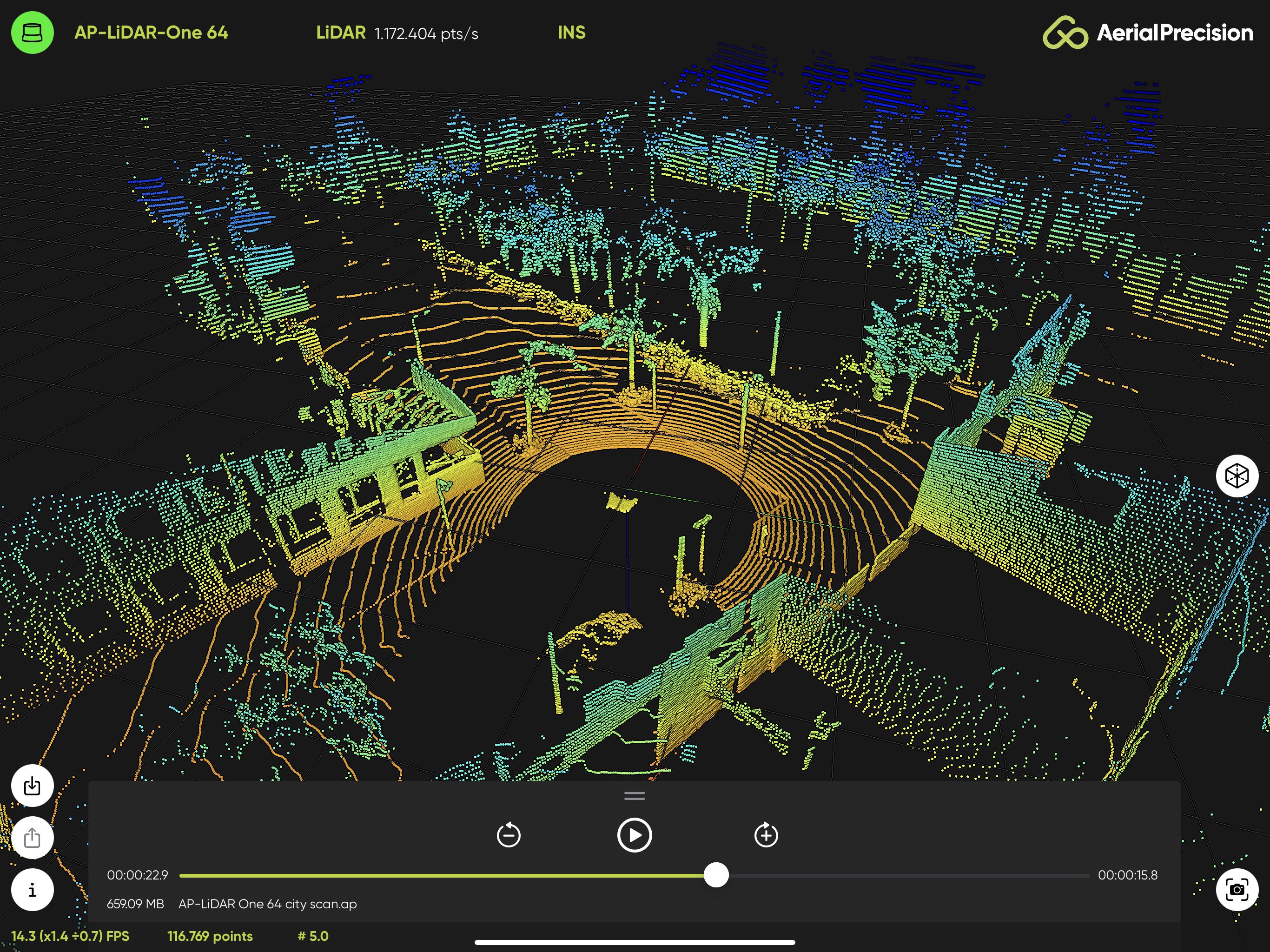
Now that we know a little better the characteristics of LiDAR systems, we can immediately understand some of the advantages of applying these systems in new infrastructures, as they can provide accurate 3D spatial data, even in low light conditions, protecting people’s privacy, one of the essential factors in smart cities, and still work 24 hours a day.
So let’s take a look at where cities can implement LiDAR systems if they want to become wise:
1) Traffic monitoring
These sensors placed at traffic lights monitor traffic flows both day and night. They can count cars at busy intersections across multiple lanes of traffic, thus keeping track of the active areas of the city.
2) Pedestrian Monitoring
It is possible with the LiDAR system to count the number of people at intersections, city parks, stadiums, and hot spots in the city center and thus identify high pedestrian traffic locations. The cities can use this information for future planning if more sidewalks or pedestrian bridges are needed.
Another advantage is that when looking for an individual, you can detect where a person is and in which direction they are moving.
3) Security management
Still, on people counting, cities can ensure security through LiDAR, providing real-time detection, identification, and tracking of people, vehicles, and even small animals.
Also, the presence of this system in self-driving cars will be essential to provide data and information about road hazards, intelligent parking and generate maps for urban planning.
4) City planning
As we have seen before, LiDAR will significantly impact urban planning, as the data analysis will be critical in making decisions for future planning and making this more accessible and detailed.
For example, detailed 3D models will be used in Military operations, Disaster management and recovery, City cartography, Construction of new buildings, Updating city maps, and Detecting changes in the urban environment.
5) The self-driving car connection
Using the LiDAR system in self-driving cars has several advantages, among them constantly capturing data about the vehicle and its surroundings and transmitting this information to a central database to disseminate road conditions and road systems to other vehicles, transmit road hazards or emergencies to other cars to alert them to stay away or find a new route.
Of course, we can’t forget about parking. Although not a safety issue, it will also impact the daily life of citizens because, through LiDAR, it is possible to identify free spaces and transmit the information to autonomous vehicles, allowing cars to park and save on fuel consumption and headaches easily.
In short, the use of LiDAR systems in smart cities will allow municipalities to ensure their citizens’ safety and quality of life, creating safer streets for the population and reducing traffic and parking problems. LiDAR will also play a key role in planning.
Although smart cities and LiDAR are still continuously evolving and developing, the industry may see more applications for the technology in the future as new smart cities emerge, and those that already are will want to evolve and improve their performance in the smart management they already use.
There is one fundamental conclusion about smart cities the efficiency of their smart management inevitably depends on quality information obtained in real-time to use it promptly.