What Are Digital Twins and How Do They Relate to LiDAR?
Ana Rouxinol
As industries evolve toward data-driven solutions, the concept of digital twins is gaining prominence. These virtual replicas of physical assets and environments allow organizations to monitor, analyze, and improve their operations with unprecedented accuracy. But how do digital twins work, and why is LiDAR technology such a powerful tool in their creation? In this blog, we’ll explain what digital twins are, how they benefit various industries, and how Aerial Precision’s LiDAR solutions bring digital twins to life efficiently and effectively.
What is a Digital Twin?
A digital twin is a dynamic, virtual model of a physical object, system, or environment. Unlike static 3D models, digital twins continuously update in real time, integrating live data from sensors and other sources to mirror the physical asset’s status, condition, and behavior. This creates a true-to-life digital replica, providing actionable insights that can be used for monitoring, predictive maintenance, and more.
Developed initially to manage equipment in industries like manufacturing and aerospace, digital twins have expanded to other fields, including smart cities, construction, environmental monitoring, and infrastructure management.
Key Benefits of Digital Twins
Digital twins offer several valuable advantages across industries:
- Increased Efficiency: Digital twins enable remote monitoring and management of assets, optimizing workflows and reducing downtime.
- Predictive Maintenance: By analyzing data patterns, digital twins can help predict when equipment maintenance is necessary, preventing unexpected breakdowns and lowering costs.
- Enhanced Decision-Making: With access to real-time, data-driven insights, decision-makers can act quickly, whether optimizing energy use in a smart building or adjusting resources in construction.
- Cost Savings: By testing and simulating changes within a digital twin, companies can avoid costly mistakes in the physical world.
How LiDAR Enhances Digital Twins
LiDAR technology (Light Detection and Ranging) is crucial in creating high-quality digital twins. Using laser pulses to measure distances and capture precise 3D data, LiDAR generates high-resolution maps and models that form the backbone of digital twins. Here’s why LiDAR data is essential for building reliable digital twins:
- Accurate 3D Mapping: LiDAR sensors provide highly accurate, high-resolution 3D scans of objects and environments, making them ideal for creating digital twins that reflect real-world detail down to the centimeter.
- Rapid Data Capture for Immediate Updates: LiDAR’s speed and accuracy allow frequent updates to digital twins, ensuring the virtual models always reflect the current conditions. This is particularly useful in construction and environmental monitoring, where up-to-date data is essential.
- Versatility Across Various Environments: LiDAR can capture data both indoors and outdoors, regardless of lighting conditions, making it a flexible solution for a range of applications, from urban planning and infrastructure management to environmental conservation.

Use Cases for Digital Twins Powered by LiDAR
- Smart Cities and Urban Planning: City planners and developers can create digital twins of urban environments to monitor infrastructure, manage resources, and plan for sustainable growth. LiDAR-generated data provides the necessary detail and accuracy for precise, reliable digital cityscapes.
- Construction and Infrastructure Monitoring: LiDAR data allows construction managers to monitor project progress in detail, ensuring work aligns with design specifications.
- Utilities and Energy: Utilities use digital twins of assets like power lines and pipelines to track status and schedule maintenance. LiDAR data offers a detailed view of these structures, helping companies optimize performance and reduce risks.
- Environmental Management: Digital twins of natural landscapes allow researchers to monitor ecosystems, track changes over time, and prepare for natural disasters. LiDAR’s ability to capture elevation and vegetation data helps create detailed, up-to-date models for conservation efforts.
Why Choose Aerial Precision’s LiDAR for Digital Twin Creation?
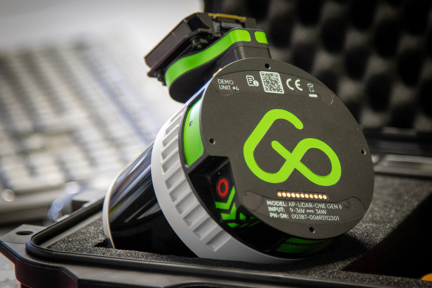
At Aerial Precision, our LiDAR solutions are tailored to make digital twin creation as efficient and accessible as possible. Here’s what sets us apart:
- On-Site Edge Processing: Unlike cloud-dependent LiDAR systems, our edge-processing technology allows users to process data directly on-site without needing the internet. This means faster results, lower dependency on external systems, and a streamlined workflow that moves seamlessly from field to actionable insight.
- High Accuracy, Zero Compromises: Our LiDAR sensors deliver industry-leading accuracy and resolution, ensuring that digital twins are true-to-life representations of physical assets. This combination of speed and quality makes Aerial Precision a trusted partner for digital twin projects in demanding fields.
- User-Friendly Software: Our system includes a dedicated app that makes LiDAR data capture and processing straightforward. There are no additional subscription fees, making our solutions powerful and cost-effective.
The Future of Digital Twins with LiDAR Technology
As industries increasingly adopt digital twin technology, the need for fast, reliable, and high-quality data is more critical than ever. LiDAR technology, especially with Aerial Precision’s edge-processing capabilities, is at the forefront of this digital twin revolution. By delivering precise 3D data without the delays or dependencies of cloud-based solutions, we’re making digital twin technology more efficient, practical, and scalable.
In summary, digital twins, powered by LiDAR, represent the future of smart monitoring, asset management, and data-driven decision-making across industries. With our edge-processed LiDAR solutions, creating and maintaining digital twins has never been more efficient or accessible. We’re helping clients “bring the office to the field” by delivering high-quality, processed data on-site, allowing teams to make fast, informed decisions based on accurate, up-to-date insights.
Ready to see how digital twins can transform your operations? Connect with us today to explore our LiDAR solutions and discover how easy it is to bring the power of digital twins to your field.


