Exploring the Applications of LiDAR: Who Uses It?
Ana Rouxinol
LiDAR is changing many industries by providing an unprecedented ability to create a 3D map in great detail. From mapping to town planning, users from different disciplines value adding LiDAR to the workflow as it helps provide efficiency and better accuracy. Yet, who are these professions, and how does LiDAR fit into their work? Let's explore.
1. Surveyors and cartographers
Land surveyors and cartographers use LiDAR to create detailed topographic maps and digital terrain models. Because LiDAR can capture millions of data points in seconds, surveyors can save time without sacrificing accuracy. Whether measuring terrain elevation or mapping expansive areas, LiDAR helps produce results with precision and minimum effort.
2. Archaeologists
In this respect, LiDAR has been a godsend for archaeology. It uncovers historical sites buried by heavy vegetation or rough terrain. Archaeologists can locate ancient structures, map excavation sites, and study landscapes without physically touching the area. This non-destructive technology has enabled many ground-shaking discoveries in previously inaccessible places.
3. Environmental scientists
LiDAR technology is invaluable for environmental studies, such as deforestation, erosion in coastal areas, and natural resource management. Scientists study ecosystems with LiDAR, create 3D vegetation models, and track landscape changes over time for better conservation.
4. Construction and infrastructure professionals
LiDAR enhances the efficiency of construction planning and infrastructure development. Engineers and architects use it to develop detailed construction site models, identify potential obstacles, and monitor project progress. Its accuracy ensures that buildings and infrastructure align with design specifications.
5. Utility inspectors
LiDAR simplifies inspection workflows for professionals dealing with powerlines, pipelines, and other utilities by making collecting data from a distance easier and identifying hazards or faults quickly and accurately. This is quite critical in ensuring minimum downtime and public safety.
6. Mining and geology experts
Mining professionals use LiDAR to map mines, monitor slopes, and analyze mineral deposits. In geology, it helps study rock formations and predict potential landslides. The precision and versatility of LiDAR make it an indispensable tool for understanding Earth's structure.
Aerial Precision: empowering professionals with advanced LiDAR solutions
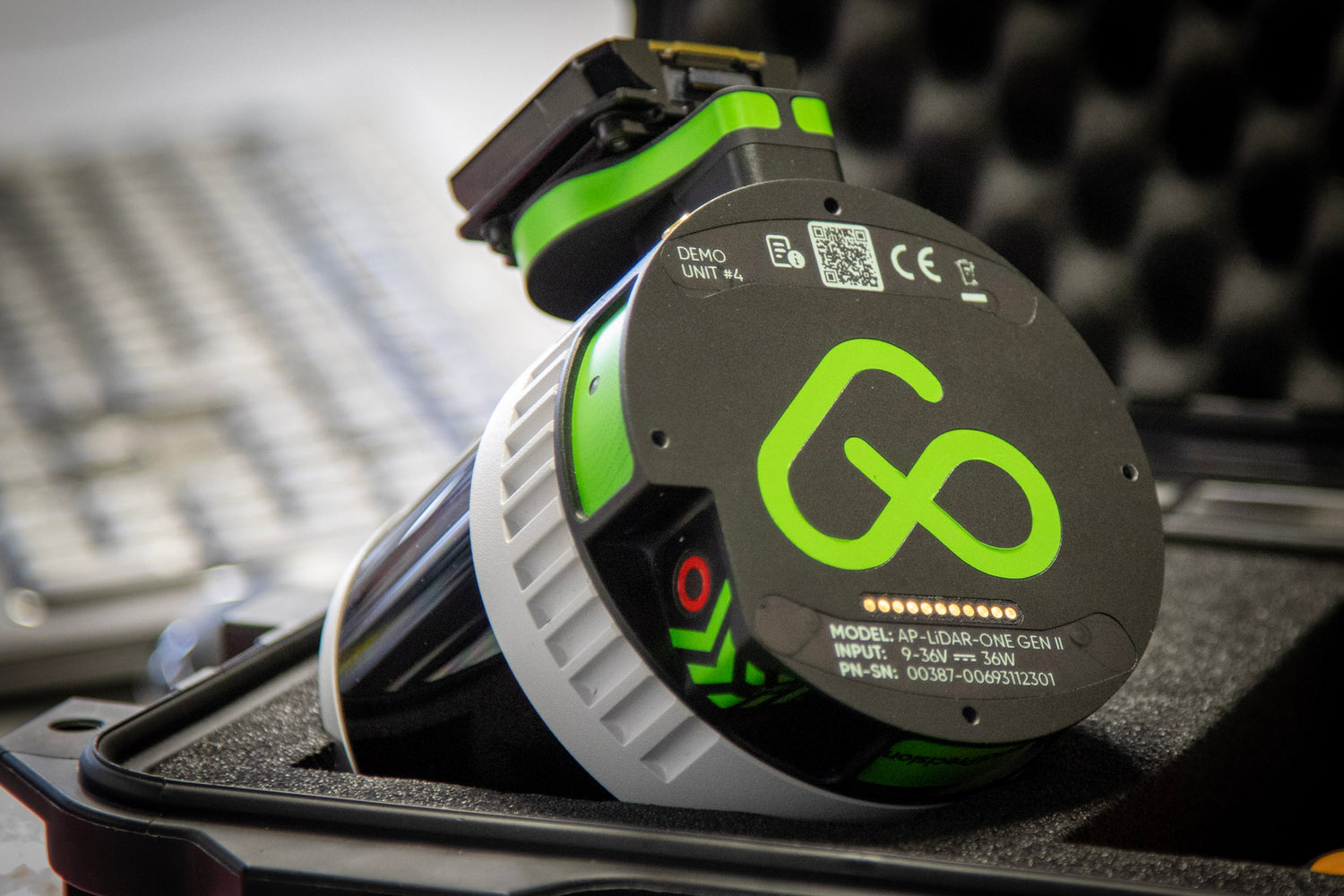
When choosing the right tools for your work, Aerial Precision is a trusted provider of cutting-edge LiDAR solutions. Our systems are designed with professionals in mind, offering on-site processing that delivers accurate survey-grade point clouds in minutes. Whether you're working in construction, archaeology, or environmental studies, Aerial Precision's sensors and app simplify workflows, enhance efficiency, and ensure your data remains secure and accessible, even in remote areas. With Aerial Precision, you have the power to elevate your projects and achieve unmatched results.
Why LiDAR is the Future of Professional Work
LiDAR's ability to produce high-resolution, accurate 3D models is revolutionizing how professionals approach their projects. By reducing time, improving data quality, and offering solutions for even the most challenging environments, LiDAR continues to expand its impact across industries.
If you're a professional looking to stay ahead, it's time to explore how LiDAR can transform your workflows. Take your projects to the next level with technology that combines speed, accuracy, and innovation.


