How LiDAR is Revolutionizing Infrastructure Resilience in the Age of Climate Change
Ana Rouxinol
The effects of climate change are putting our infrastructure to the ultimate test. From extreme weather events to rising sea levels, cities and industries must adapt to protect essential systems like roads, bridges, and power grids. LiDAR technology is a game-changing tool in building climate-resilient infrastructure. By providing precise 3D mapping and enabling efficient, on-site data processing, LiDAR empowers engineers and planners to address vulnerabilities quickly, even in the most remote locations.
Why Infrastructure Resilience Matters More Than Ever
Infrastructure resilience ensures critical systems can withstand and recover from climate-related events like floods, hurricanes, or wildfires. With the stakes higher than ever, accurate and actionable data is key to creating solutions that adapt to these challenges. LiDAR technology provides high-resolution insights to guide decision-making and help communities prepare for the future.
Mapping Vulnerabilities with Precision
LiDAR offers unmatched accuracy for assessing terrain, structures, and potential risk zones. Detailed 3D models generated by LiDAR allow planners to pinpoint vulnerabilities in infrastructure, such as erosion-prone areas or flood risks. Processing this data directly on-site enhances decision-making speed and eliminates reliance on external networks, a critical advantage for projects in remote or disaster-affected areas.
Strengthening Transportation Networks
Transportation infrastructure (roads, railways, and bridges) is particularly vulnerable to extreme weather. LiDAR can evaluate the structural health of these networks, enabling preventative maintenance and more innovative design solutions. With edge processing, teams can gather and analyze data quickly, ensuring infrastructure remains operational during and after disruptive events.
Flood Risk Assessment for Coastal Cities
Flooding poses a significant threat to coastal regions. LiDAR flood mapping provides highly accurate elevation data, helping urban planners design defenses like levees or elevated roads. The ability to process data on-site means faster insights and better-prepared cities, especially in time-sensitive scenarios where traditional data workflows would slow down the response.
Disaster Response: Fast and Reliable Damage Assessment
LiDAR technology is invaluable for disaster response, enabling detailed assessments of affected areas. By generating 3D maps on-site, teams can evaluate damage and prioritize recovery efforts without waiting for cloud-based processing. This capability is especially critical in remote areas without internet access, but immediate action is required.
Aerial Precision: Leading the Way in LiDAR Solutions
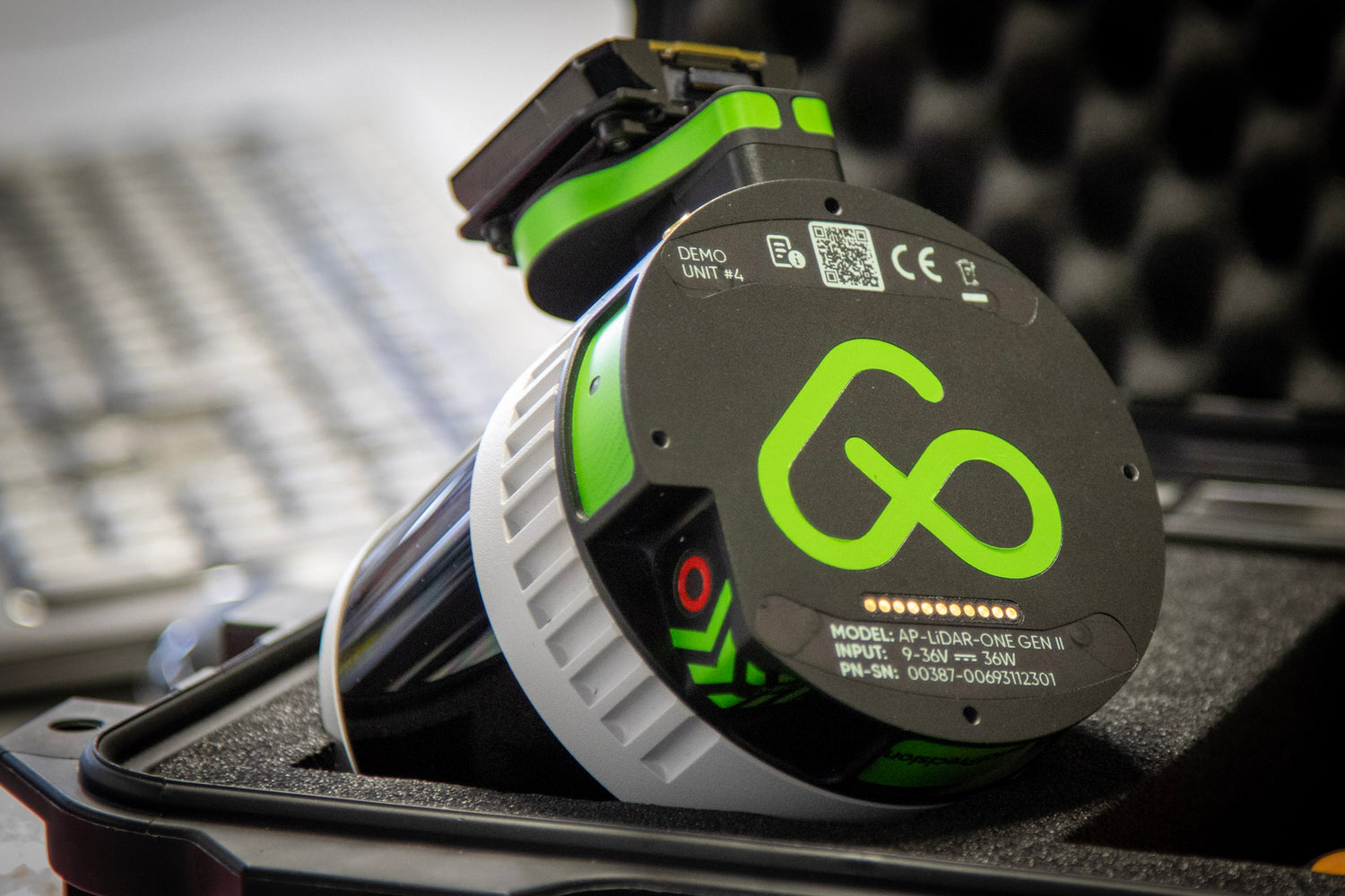
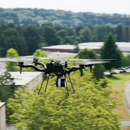
At Aerial Precision, we're revolutionizing how LiDAR data is processed and utilized. Our on-site 3D LiDAR mappingsolutions enable data to be processed in minutes, even in remote locations without internet access. This makes our technology uniquely suited for industries and projects where time, accuracy, and adaptability are critical. Combining cutting-edge hardware with edge processing capabilities empowers our clients to act decisively and efficiently in any environment.
In a world increasingly shaped by the impacts of climate change, resilient infrastructure is essential. LiDAR technology offers the accuracy, speed, and flexibility needed to address these challenges head-on. By embracing innovative solutions like on-site 3D LiDAR mapping, industries and municipalities can better prepare for the future while ensuring communities are protected. With Aerial Precision at the forefront of these advancements, the possibilities for a more resilient tomorrow are within reach.


